MyTopo
Eastport OE E Maine US Topo Map
Couldn't load pickup availability
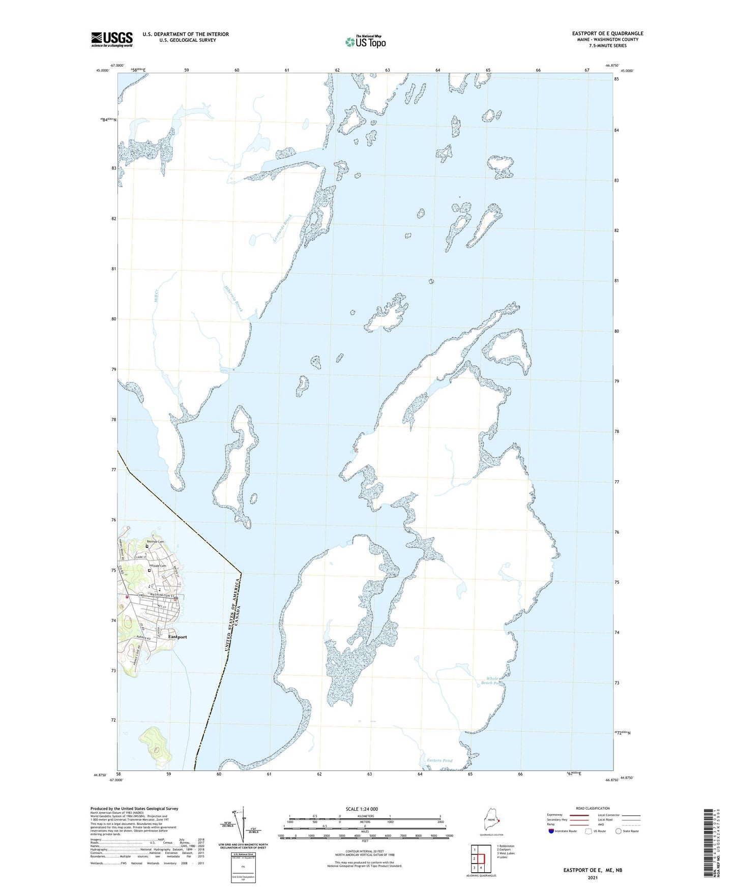
2024 topographic map quadrangle Eastport OE E in the state of Maine. Scale: 1:24000. Based on the newly updated USGS 7.5' US Topo map series, this map is in the following counties: Washington. The map contains contour data, water features, and other items you are used to seeing on USGS maps, but also has updated roads and other features. This is the next generation of topographic maps. Printed on high-quality waterproof paper with UV fade-resistant inks.
Quads adjacent to this one:
West: Eastport
Northwest: Robbinston
South: Lubec
Southwest: West Lubec
Contains the following named places: Barracks Museum, Bayside Cemetery, Blakeley Memorial Methodist Church, Boynton Street Historic District, Buckman Head, Burial Island, Clark Ledge, Cornerstone Baptist Church, Dog Island, Dog Island Light, Downeast Emergency Medical Services Eastport, Eastport, Eastport Elementary School, Eastport Fish Pier, Eastport Gallery and Arts Center, Eastport Historic District, Eastport Municipal Fire Department Station 1, Eastport Municipal Pier, Eastport Police Department, Eastport Post Office, Episcopal Union Church, Estes Head, Friar Roads, Gull Rock, Harris Cove, Hillside Cemetery, Margie Rock, Mustard Mill Museum, Overlook Park, Page Rock, Peavey Memorial Library, Prince Cove, Quoddy Tides Foundation, Quoddy Tides Foundation Marine Library, Shead High School, The Seaview Campground, Todd Head, Treat Island, WSHD-FM (Eastport)


