MyTopo
Hartland Maine US Topo Map
Couldn't load pickup availability
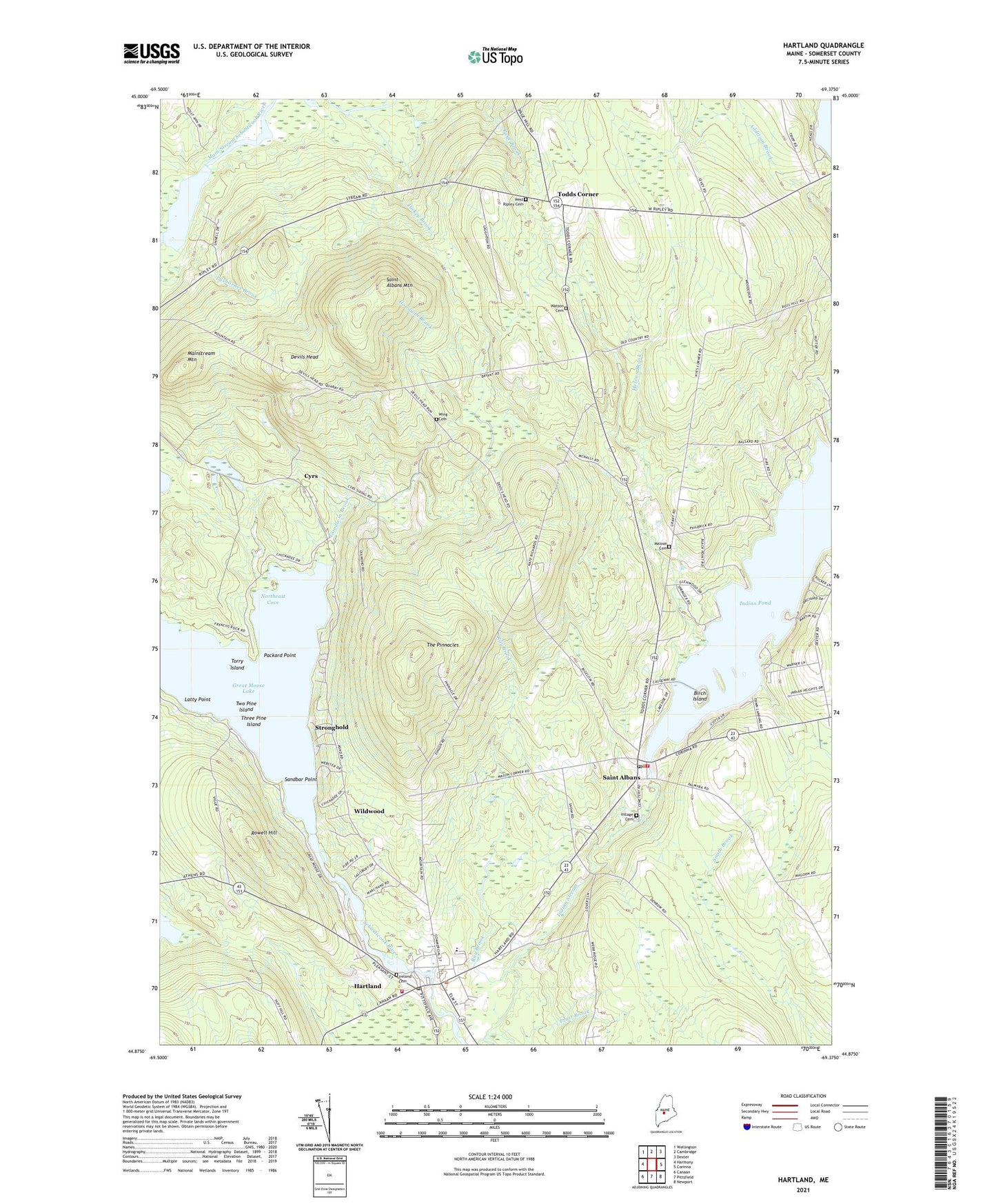
2021 topographic map quadrangle Hartland in the state of Maine. Scale: 1:24000. Based on the newly updated USGS 7.5' US Topo map series, this map is in the following counties: Somerset. The map contains contour data, water features, and other items you are used to seeing on USGS maps, but also has updated roads and other features. This is the next generation of topographic maps. Printed on high-quality waterproof paper with UV fade-resistant inks.
Quads adjacent to this one:
West: Harmony
Northwest: Wellington
North: Cambridge
Northeast: Dexter
East: Corinna
Southeast: Newport
South: Pittsfield
Southwest: Canaan
Contains the following named places: Big Indian Camps, Birch Island, Courser Memorial School, Cyrs, Devils Head, Dickey Brook, Goodwin Brook, Great Moose Lake Dam, Hartland, Hartland Census Designated Place, Hartland Consolidated School, Hartland First Baptist Church, Hartland Methodist Church, Hartland Post Office, Hartland Public Library, Hartland Saint Albans Emergency Medical Services, Hartland Volunteer Fire Department, Indian Pond, Indian Stream Reservoir, Ireland Cemetery, Latty Point, Lower Dam, Lyshornes Brook, Mainstream Mountain, Mainstream Pond, Maloon Cemetery, Meloon Brook, Mill Pond, Northeast Cove, Packard Point, Pond Road School, Pratt Brook, Railbridge Brook, Ray Brook, Rowell Hill, Saint Albans, Saint Albans Consolidated School, Saint Albans Mountain, Saint Albans Union Church, Saint Albans Volunteer Fire Department, Sandbar Point, Somerset Elementary School, Stronghold, The Pinnacles, Three Pine Island, Todds Corner, Torry Island, Town of Saint Albans, Two Pine Island, Upper Dam, Village Cemetery, Watson Cemetery, West Ripley Cemetery, Wild Goose Club, Wildwood, Wing Cemetery, ZIP Code: 04971