MyTopo
Hewett Island Maine US Topo Map
Couldn't load pickup availability
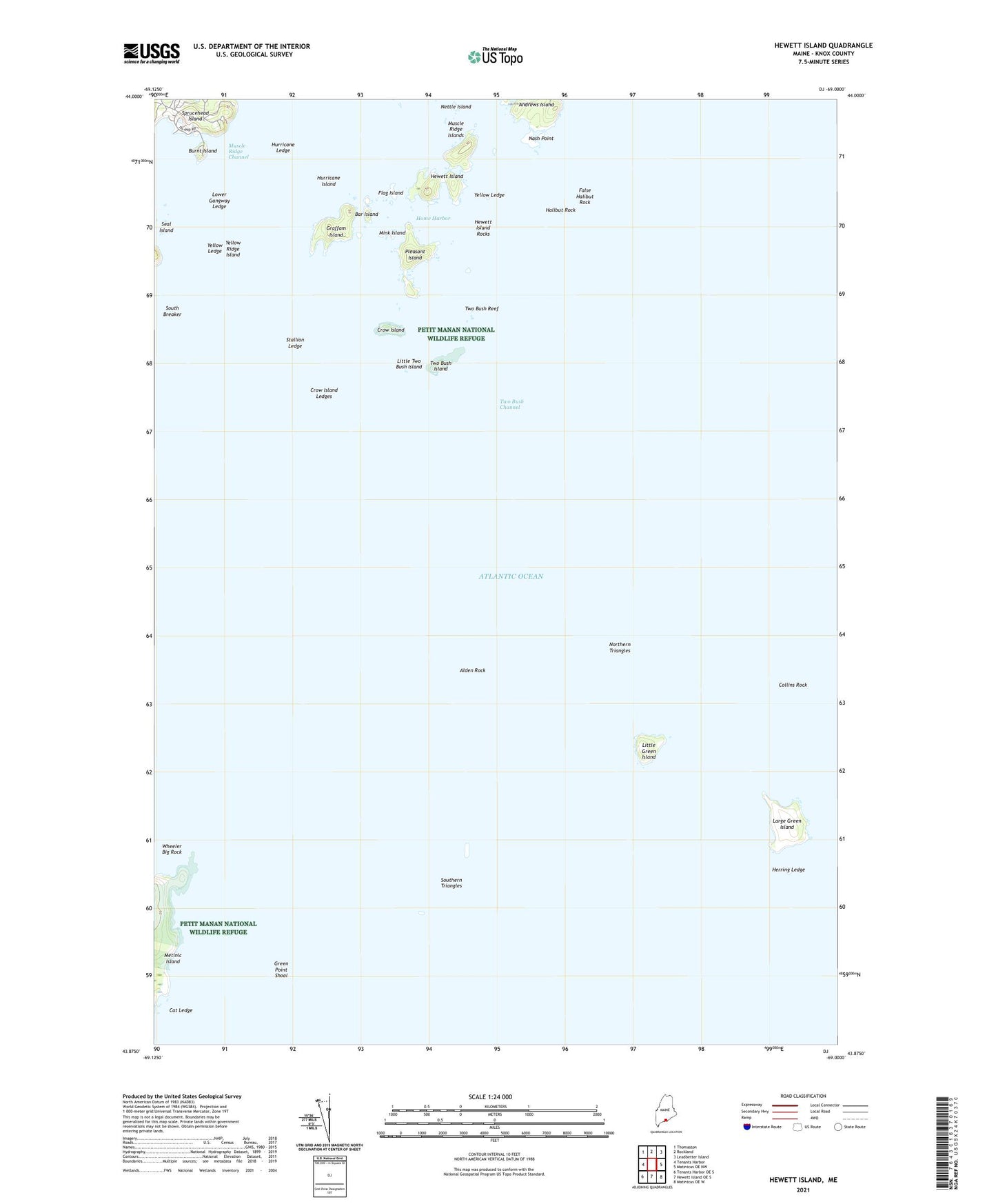
2021 topographic map quadrangle Hewett Island in the state of Maine. Scale: 1:24000. Based on the newly updated USGS 7.5' US Topo map series, this map is in the following counties: Knox. The map contains contour data, water features, and other items you are used to seeing on USGS maps, but also has updated roads and other features. This is the next generation of topographic maps. Printed on high-quality waterproof paper with UV fade-resistant inks.
Quads adjacent to this one:
West: Tenants Harbor
Northwest: Thomaston
North: Rockland
Northeast: Leadbetter Island
East: Matinicus OE NW
Southeast: Matinicus OE W
South: Hewett Island OE S
Southwest: Tenants Harbor OE S
Contains the following named places: Alden Rock, Andrews Island, Bar Island, Burnt Island, Cat Ledge, Collins Rock, Crow Island, Crow Island Ledges, False Halibut Rock, Flag Island, Graffam Island, Green Point Shoal, Halibut Rock, Herring Ledge, Hewett Island, Hewett Island Rocks, Home Harbor, Hurricane Island, Hurricane Ledge, Large Green Island, Little Green Island, Little Two Bush Island, Lower Gangway Ledge, Mink Island, Muscle Ridge Islands, Nash Point, Nettle Island, Northern Triangles, Pleasant Island, Seal Island, South Breaker, Southern Triangles, Sprucehead Island, Stallion Ledge, Two Bush Channel, Two Bush Island, Two Bush Island Light, Two Bush Reef, Wheeler Big Rock, Whitehead Island Light Station, Yellow Ledge, Yellow Ridge Island