MyTopo
Matinicus OE W Maine US Topo Map
Couldn't load pickup availability
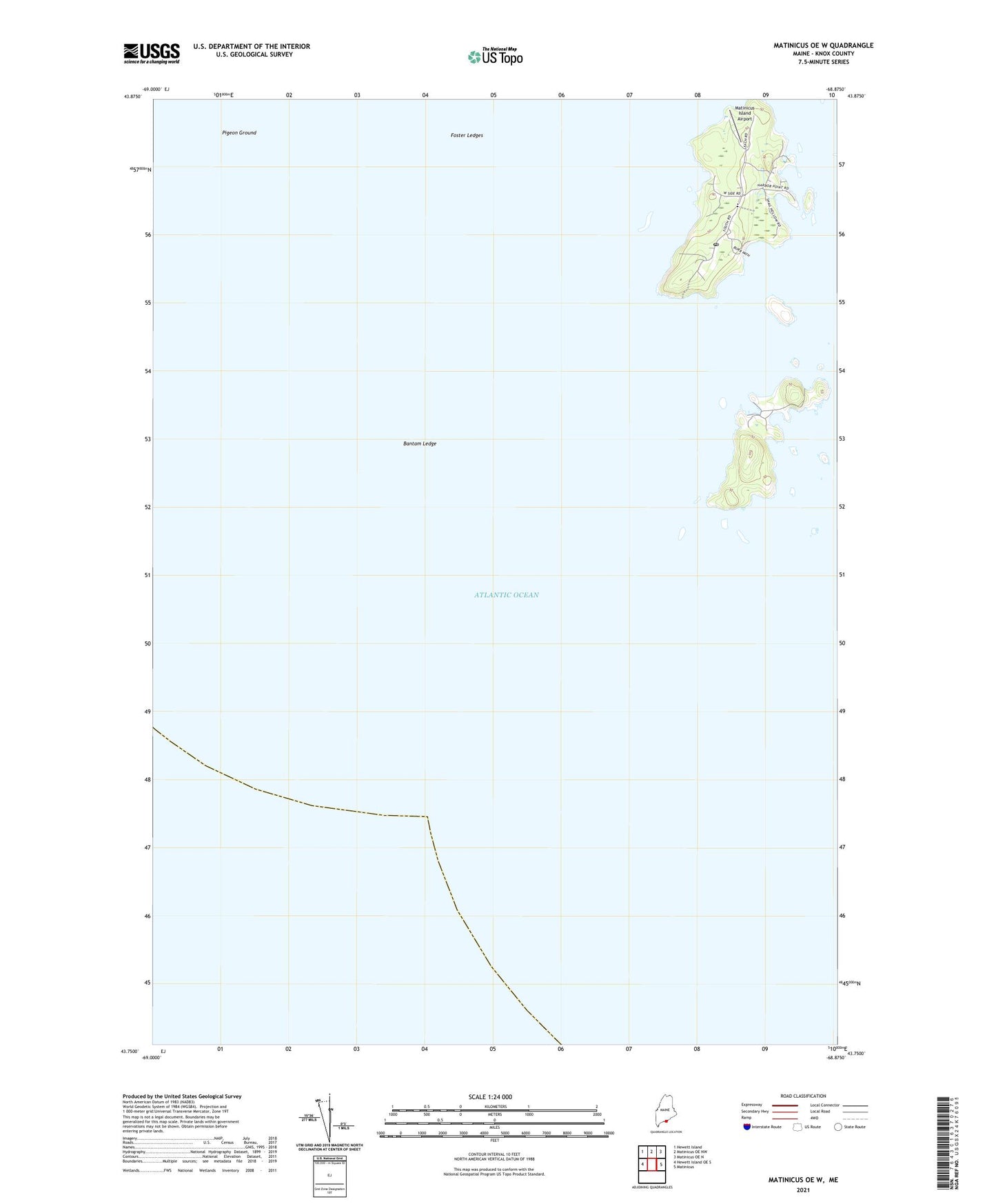
2024 topographic map quadrangle Matinicus OE W in the state of Maine. Scale: 1:24000. Based on the newly updated USGS 7.5' US Topo map series, this map is in the following counties: Knox. The map contains contour data, water features, and other items you are used to seeing on USGS maps, but also has updated roads and other features. This is the next generation of topographic maps. Printed on high-quality waterproof paper with UV fade-resistant inks.
Quads adjacent to this one:
West: Hewett Island OE S
Northwest: Hewett Island
North: Matinicus OE NW
Northeast: Matinicus OE N
East: Matinicus
Contains the following named places: Bantam Ledge, Black Rocks, Brig Ledge, Bull Cove, Burgess Cove, Camp Cove, Camp Cove Ledge, Cato Cove, Cato Ledge, Condon Cove, Condon Point, Criehaven, Criehaven Harbor, Curtis Point, Deep Cove, Field Point, Foster Ledges, Green Ledge, Harbor Ledges, Harbor Point, High Head, High Ledge, Indian Ledge, Inner Breakers, Little Island, Long Cove, Markey Beach, Matinicus, Matinicus Harbor, Matinicus Island, Matinicus Island Airport, Matinicus Island Emergency Medical Services, Matinicus Post Office, Matinicus Roads, Matinicus School, Old Cove, Pasture Cove, Philbrook Cove, Pigeon Ground, Plantation of Matinicus Isle, Pond Cove, Pudding Island, Ragged Island, Seal Cove, Seal Ledge, Shag Ledge, South Breaker, South Sandy Beach, Southwest Ledges, Southwest Point, Sunset Point, Tenpound Island, The Barrel, The Hogshead, Township of Criehaven, Two Bush Ledge, Unorganized Territory of Criehaven, West Point, Wheaton Island, Wilson Cove, Wilson Head, Young Point