MyTopo
Lille Maine US Topo Map
Couldn't load pickup availability
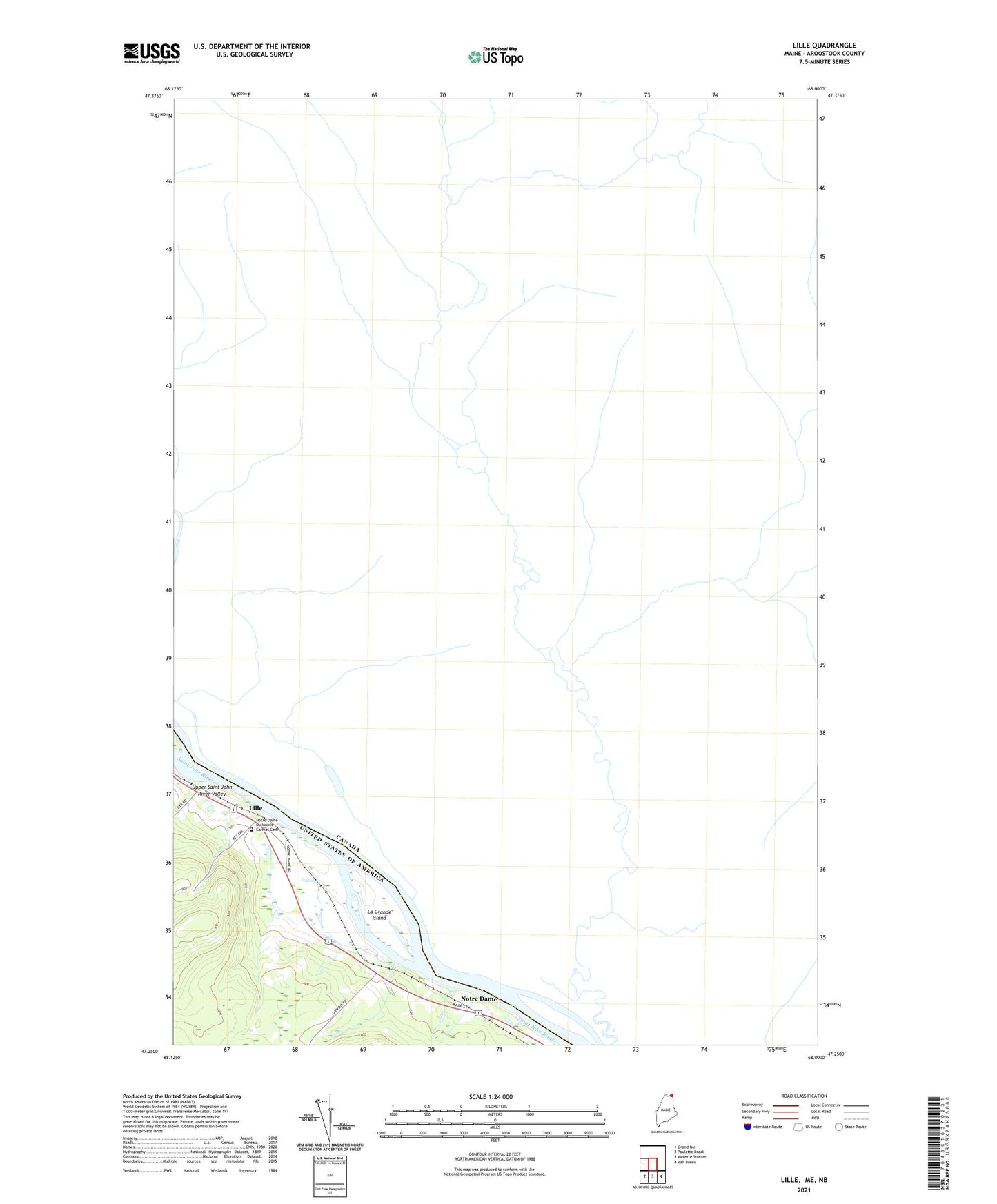
2024 topographic map quadrangle Lille in the state of Maine. Scale: 1:24000. Based on the newly updated USGS 7.5' US Topo map series, this map is in the following counties: Aroostook. The map contains contour data, water features, and other items you are used to seeing on USGS maps, but also has updated roads and other features. This is the next generation of topographic maps. Printed on high-quality waterproof paper with UV fade-resistant inks.
Quads adjacent to this one:
West: Grand Isle
Southeast: Van Buren
South: Violette Stream
Southwest: Paulette Brook
This map covers the same area as the classic USGS quad with code o47068c1.
Contains the following named places: La Grande Island, L'Association Culturelle Et Historique du Mont-Carmel Musee, Lille, Lille Post Office, Notre Dame, Notre Dame Du Mount Carmel Cemetery