MyTopo
Moose River Maine US Topo Map
Couldn't load pickup availability
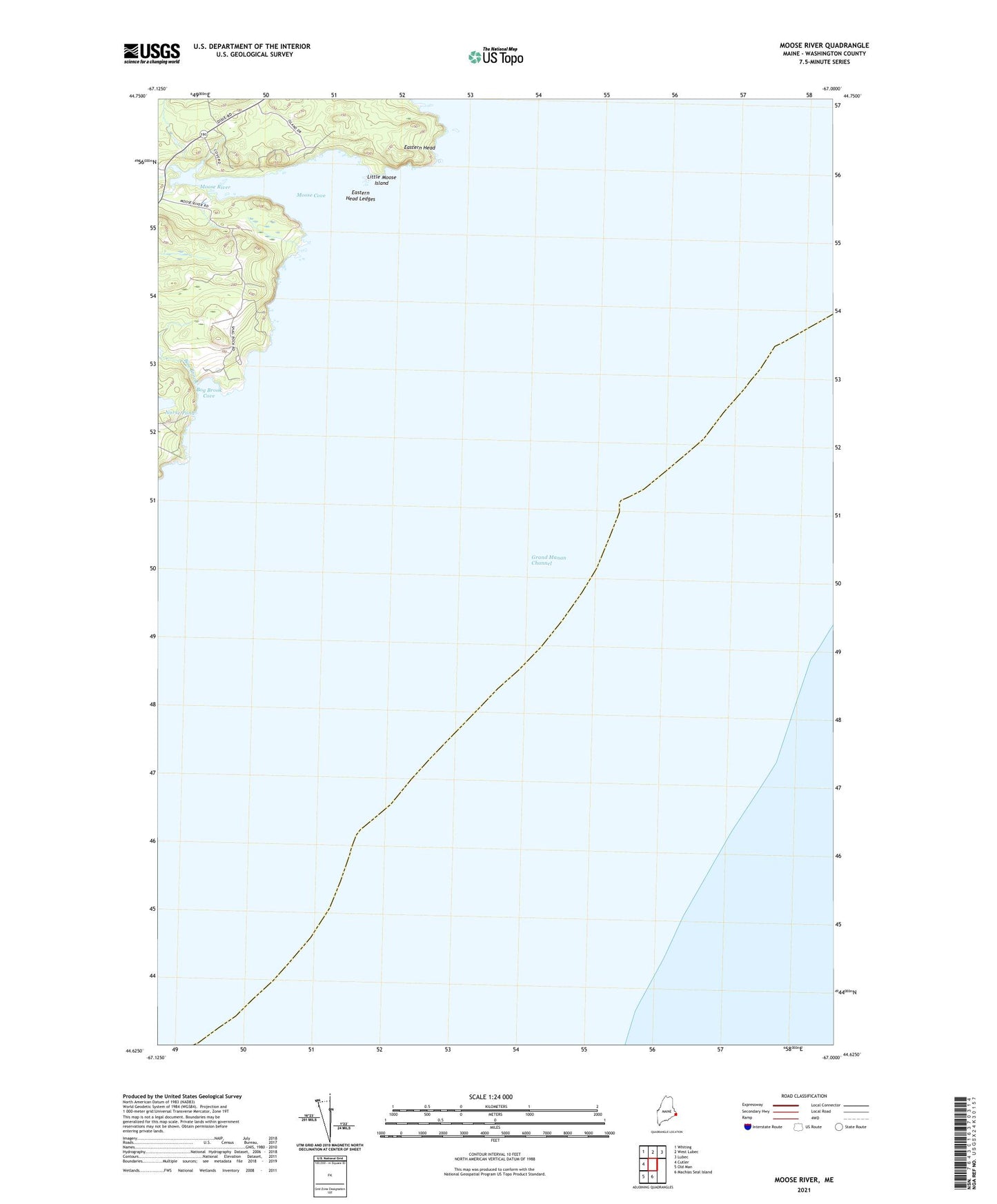
2024 topographic map quadrangle Moose River in the state of Maine. Scale: 1:24000. Based on the newly updated USGS 7.5' US Topo map series, this map is in the following counties: Washington. The map contains contour data, water features, and other items you are used to seeing on USGS maps, but also has updated roads and other features. This is the next generation of topographic maps. Printed on high-quality waterproof paper with UV fade-resistant inks.
Quads adjacent to this one:
West: Cutler
Northwest: Whiting
North: West Lubec
Northeast: Lubec
South: Machias Seal Island
Southwest: Old Man
This map covers the same area as the classic USGS quad with code o44067f1.
Contains the following named places: Bog Brook, Bog Brook Cove, Eastern Head, Eastern Head Ledges, Little Moose Island, Moose Cove, Moose River, Moose River School, Norse Pond, Sandy Cove