MyTopo
Poplar Mountain Maine US Topo Map
Couldn't load pickup availability
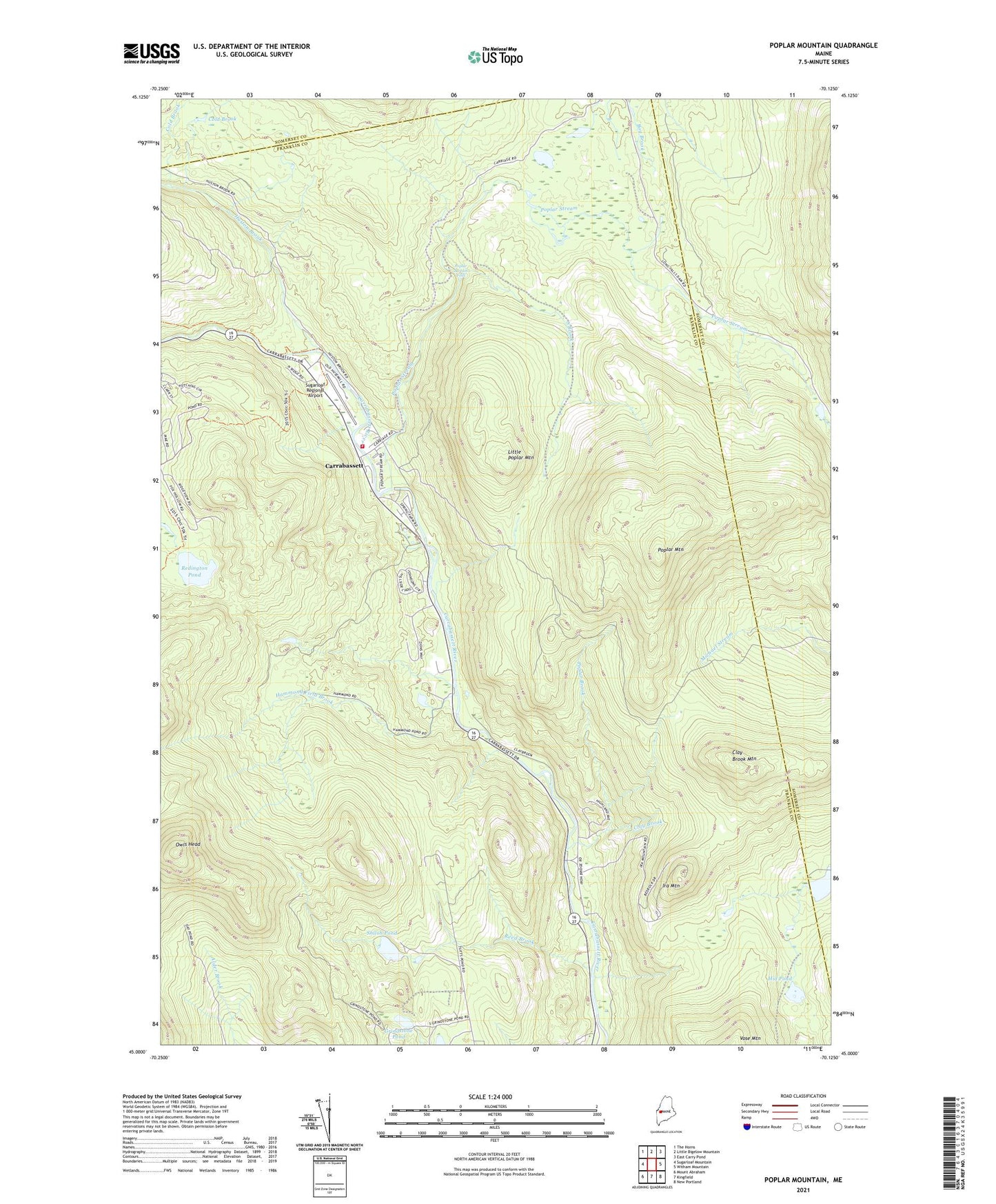
2021 topographic map quadrangle Poplar Mountain in the state of Maine. Scale: 1:24000. Based on the newly updated USGS 7.5' US Topo map series, this map is in the following counties: Franklin, Somerset. The map contains contour data, water features, and other items you are used to seeing on USGS maps, but also has updated roads and other features. This is the next generation of topographic maps. Printed on high-quality waterproof paper with UV fade-resistant inks.
Quads adjacent to this one:
West: Sugarloaf Mountain
Northwest: The Horns
North: Little Bigelow Mountain
Northeast: East Carry Pond
East: Witham Mountain
Southeast: New Portland
South: Kingfield
Southwest: Mount Abraham
Contains the following named places: Butler Pond, Carrabassett, Carrabassett Valley Volunteer Fire Department Valley Station, Clay Brook, Clay Brook Mountain, Cold Brook, Deer Farm Campground, Gold Brook Dam, Grindstone Pond, Hammond Field Brook, Hammond Pond, Hid Pond, Huston Brook, Ira Mountain, Little Poplar Mountain, Northstar Emergency Medical Services, Owls Head, Poplar Brook, Poplar Mountain, Poplar Stream, Poplar Stream Falls, Records, Redington Pond, Reed Brook, Shiloh Pond, South Brook, Spring Farm, Sugarloaf Area Chamber of Commerce, Sugarloaf Regional Airport, Valley Crossing, Western Maines Childrens Museum