MyTopo
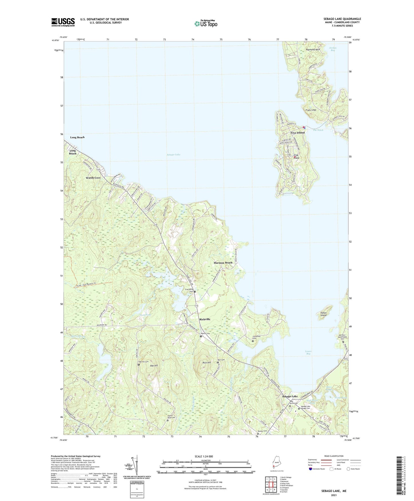
Sebago Lake Maine US Topo Map
Couldn't load pickup availability
2024 topographic map quadrangle Sebago Lake in the state of Maine. Scale: 1:24000. Based on the newly updated USGS 7.5' US Topo map series, this map is in the following counties: Cumberland. The map contains contour data, water features, and other items you are used to seeing on USGS maps, but also has updated roads and other features. This is the next generation of topographic maps. Printed on high-quality waterproof paper with UV fade-resistant inks.
Quads adjacent to this one:
West: Steep Falls
Northwest: North Sebago
North: Naples
Northeast: Raymond
East: North Windham
Southeast: Gorham
South: Standish
Southwest: Limington
This map covers the same area as the classic USGS quad with code o43070g5.
Contains the following named places: Duck Pond, Edna Libby School, Friendship Cemetery, Frye Island, Frye Island Fire Department Station 1, Frye Island Fire Department Station 2, Frye Island Golf Course, Frye Island Police Department, Fryes Leap, Half Moon Pond, Hamlin Cemetery, Harmon - Waterhouse Cemetery, Harmon Beach, Indian Island, Little Watchic Pond, Littlefield Cemetery, Long Beach, Lower Bay, Oak Hill, Oak Hill Cemetery, Oak Hill Chapel, Otter Ponds, Poor Birch Cemetery, Raymond Neck, Rich Hill, Rich Mill Pond Dam, Rich Millpond, Richville, Richville Library, Sebago Lake, Sebago Lake Congregational Church, Snake Pond, Steep Falls Wildlife Management Area, Sticky River, The Notch, Town of Frye Island, Town of Standish, Wards Cove, WGAN-AM (Portland), ZIP Codes: 04084, 04085


