MyTopo
Sebec Lake East Maine US Topo Map
Couldn't load pickup availability
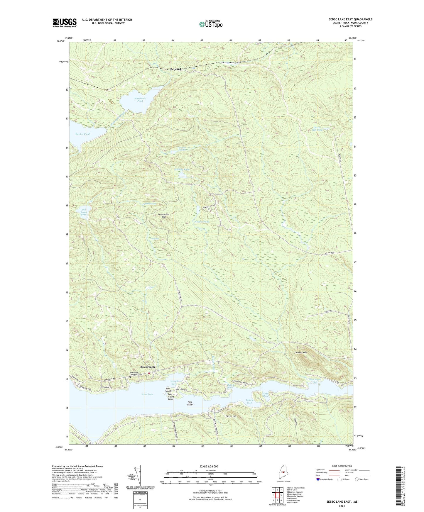
2024 topographic map quadrangle Sebec Lake East in the state of Maine. Scale: 1:24000. Based on the newly updated USGS 7.5' US Topo map series, this map is in the following counties: Piscataquis. The map contains contour data, water features, and other items you are used to seeing on USGS maps, but also has updated roads and other features. This is the next generation of topographic maps. Printed on high-quality waterproof paper with UV fade-resistant inks.
Quads adjacent to this one:
West: Sebec Lake West
Northwest: Barren Mountain East
North: Silver Lake
Northeast: Ebeemee Mountain
East: Brownville Junction
Southeast: South Sebec
South: Dover-Foxcroft
Southwest: Sangerville
This map covers the same area as the classic USGS quad with code o45069c2.
Contains the following named places: Ayers Brook, Barnard, Bear Brook, Bear Brook Cove, Beaver Brook, Bennett Brook, Bog Brook, Bowerbank, Bowerbank Community Cemetery, Bowerbank Fire Department, Burden Pond, Buttermilk Pond, Caribou Stream, Citron Hill, Cotton Brook, Crocket Hill, Dexter Mill Pond, Essler Brook, Greeleys Landing, Lamont Ponds, Levansaller Hill, Long Bog, Long Bog Brook, Lyford Cove, Lyford Swamp, Mill Brook, Mill Brook Pond, Newell Cove, Northwest Ridge Road, Parson Landing, Picked Cove, Pickerel Brook, Pickerel Pond, Pine Island, Plantation of Barnard, Poplar Brook, Pudding Pond, Quarry Brook, Ram Island, Ram Island Point, Smith Brook, State of Maine, Steadman Landing, Turtle Cove