MyTopo
Strong Maine US Topo Map
Couldn't load pickup availability
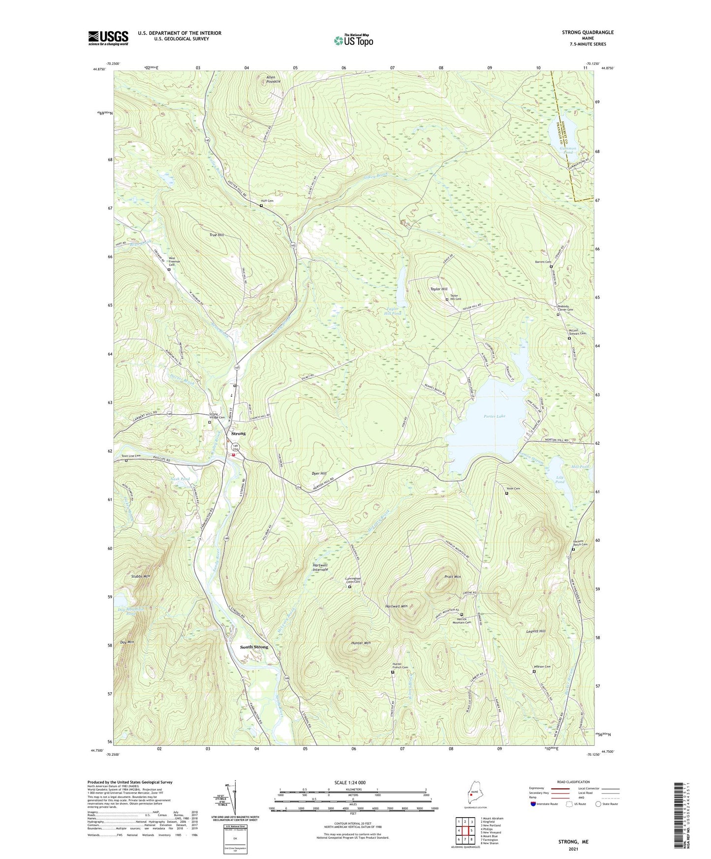
2021 topographic map quadrangle Strong in the state of Maine. Scale: 1:24000. Based on the newly updated USGS 7.5' US Topo map series, this map is in the following counties: Franklin, Somerset. The map contains contour data, water features, and other items you are used to seeing on USGS maps, but also has updated roads and other features. This is the next generation of topographic maps. Printed on high-quality waterproof paper with UV fade-resistant inks.
Quads adjacent to this one:
West: Phillips
Northwest: Mount Abraham
North: Kingfield
Northeast: New Portland
East: New Vineyard
Southeast: New Sharon
South: Farmington
Southwest: Mount Blue
Contains the following named places: Allen Pinnacle, Barrett Cemetery, Bean Brook, Cunningham Cates Cemetery, Day Mountain Pond, Dead Stream, Doctor Brook, Dyer Hill, Freeman Center School, Freeman Township, Gammon Pond, Gilkey Brook, Guild School, Hackett Notch Cemetery, Hardy School, Hartwell Intervale, Hartwell Mountain, Herrick Mountain Cemetery, Huff Cemetery, Hunter French Cemetery, Hunter Mountain, Leavitt Hill, Lily Pond, McLain Stewart Cemetery, McLeary Brook, Nash Pond, Peabody Corner Cemetery, Peabody School, Pearson Cemetery, Porter Lake, Porter Lake Dam, Pratt Mountain, South Strong, Strong, Strong Elementary School, Strong Fire Department, Strong Post Office, Strong Public Library, Strong United Methodist Church, Strong Village Cemetery, Stubbs Mountain, Sweet Cemetery, Taylor Hill, Taylor Hill Cemetery, Taylor Hill Pond, Town Line Cemetery, Town of Strong, True Hill, Valley Brook, Voter Cemetery, West Freeman Cemetery