MyTopo
Tomhegan Pond Maine US Topo Map
Couldn't load pickup availability
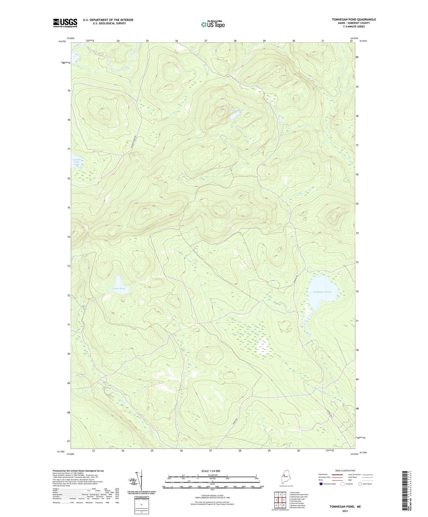
2024 topographic map quadrangle Tomhegan Pond in the state of Maine. Scale: 1:24000. Based on the newly updated USGS 7.5' US Topo map series, this map is in the following counties: Somerset. The map contains contour data, water features, and other items you are used to seeing on USGS maps, but also has updated roads and other features. This is the next generation of topographic maps. Printed on high-quality waterproof paper with UV fade-resistant inks.
Quads adjacent to this one:
West: Canada Falls Lake
Northwest: Foley Pond
North: Seboomook Lake West
Northeast: Seboomook Lake East
East: Socatean Bay
Southeast: Brassua Lake East
South: Brassua Lake West
Southwest: Churchill Stream
This map covers the same area as the classic USGS quad with code o45069g8.
Contains the following named places: Canada Falls Dam, Center Pond, Dipper Pond, Tomhegan Pond, Township of Soldiertown