MyTopo
Chicamacomico River Maryland US Topo Map
Couldn't load pickup availability
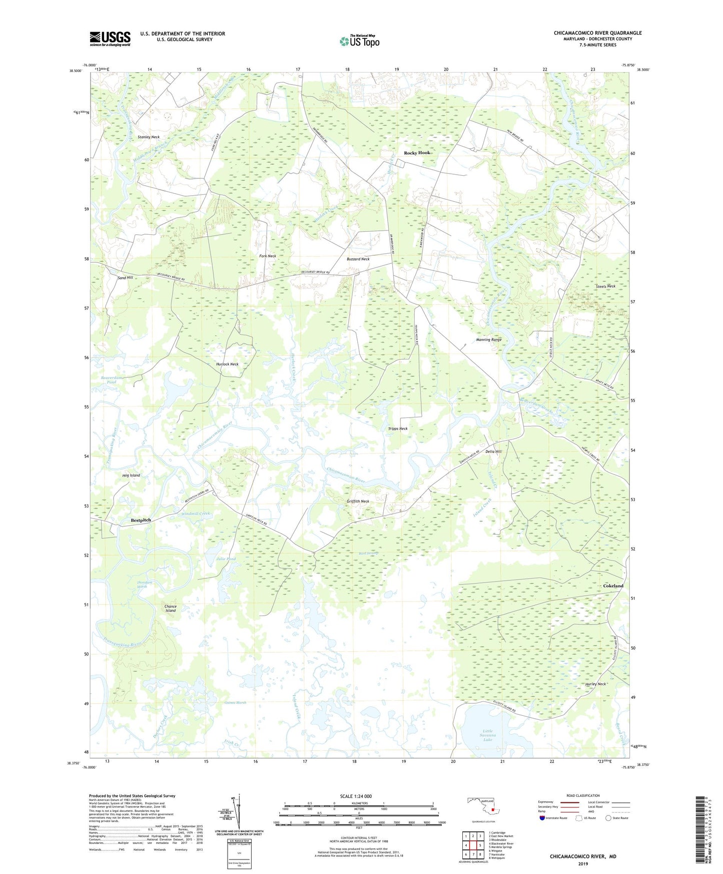
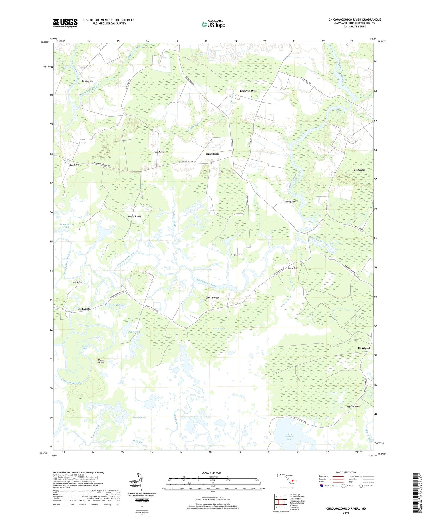
2019 topographic map quadrangle Chicamacomico River in the state of Maryland. Scale: 1:24000. Based on the newly updated USGS 7.5' US Topo map series, this map is in the following counties: Dorchester. The map contains contour data, water features, and other items you are used to seeing on USGS maps, but also has updated roads and other features. This is the next generation of topographic maps. Printed on high-quality waterproof paper with UV fade-resistant inks.
Quads adjacent to this one:
West: Blackwater River
Northwest: Cambridge
North: East New Market
Northeast: Rhodesdale
East: Mardela Springs
Southeast: Wetipquin
South: Nanticoke
Southwest: Wingate
Contains the following named places: Bare Swamp, Beaverdam Creek, Beaverdam Pond, Bestpitch, Bestpitch Ferry, Brick House Landing, Buzzard Neck, Cedar Landing, Chance Island, Chicamacomico River, Cokeland, DeCoursey Bridge, Delia Hill, District 11 Drawbridge, District 17 Salem, Doctors Creek, Drawbridge, Eagle Hall, Fork Neck, Griffith Neck, Hog Island, Hurlock Creek, Hurlock Neck, Island Pond, Julie Pond, Le Compte Wildlife Management Area, Manning Range, Middletown Branch, New Bridge, Otter Pond Branch, Parish Pond, Rocky Hook, Sand Hill, Savanna Lake, School Pond, Stanley Neck, Steels Neck, The Canal, Thorofare Marsh, Tripps Neck, Union Church, Waters Church, Windmill Creek, ZIP Code: 21869