MyTopo
Fowling Creek Maryland US Topo Map
Couldn't load pickup availability
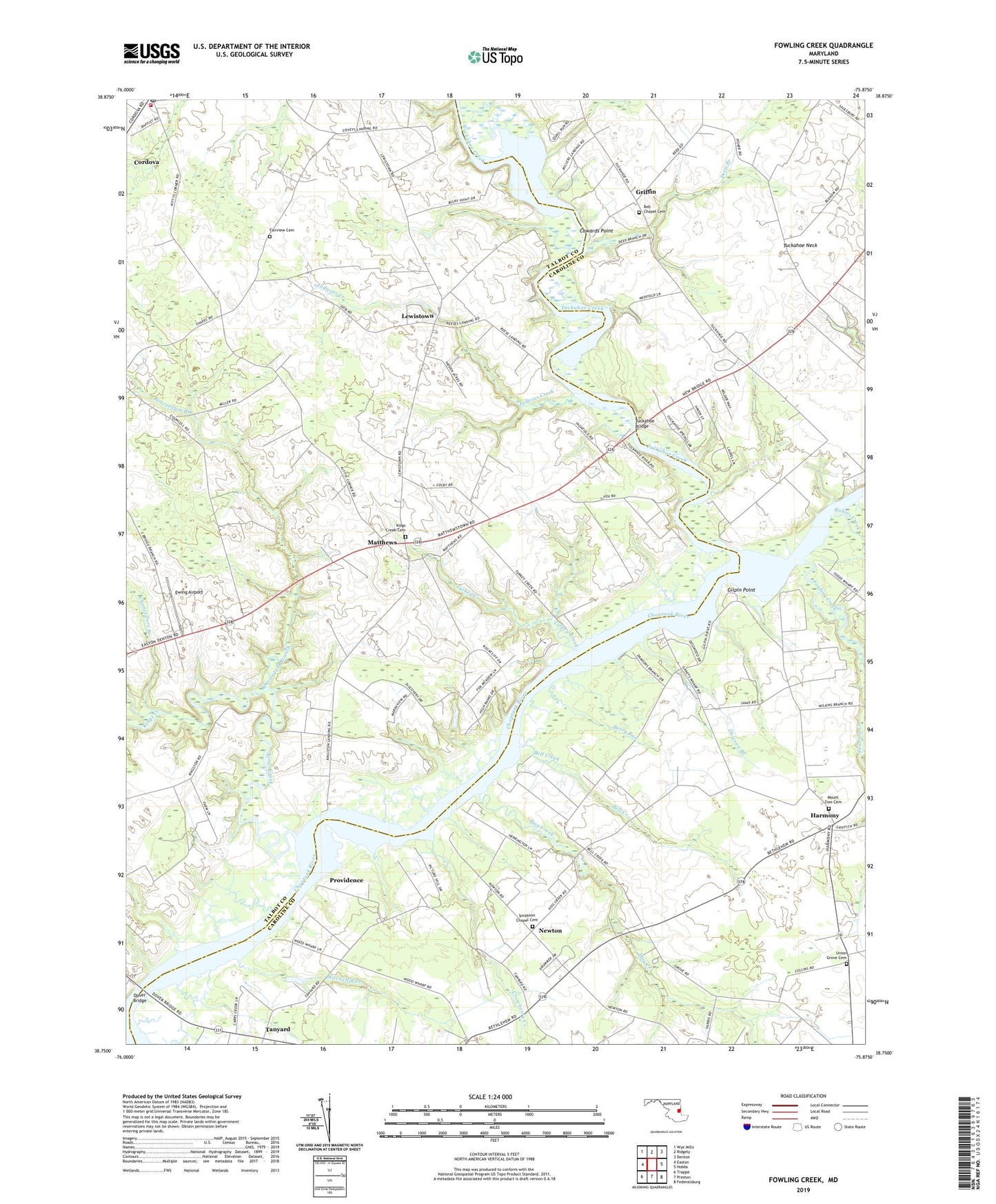
2023 topographic map quadrangle Fowling Creek in the state of Maryland. Scale: 1:24000. Based on the newly updated USGS 7.5' US Topo map series, this map is in the following counties: Caroline, Talbot. The map contains contour data, water features, and other items you are used to seeing on USGS maps, but also has updated roads and other features. This is the next generation of topographic maps. Printed on high-quality waterproof paper with UV fade-resistant inks.
Quads adjacent to this one:
West: Easton
Northwest: Wye Mills
North: Ridgely
Northeast: Denton
East: Hobbs
Southeast: Federalsburg
South: Preston
Southwest: Trappe
This map covers the same area as the classic USGS quad with code o38075g8.
Contains the following named places: Beaverdam Branch, Bell Chapel African Methodist Episcopal Church, Bell Chapel Cemetery, Bell Creek, Berry Run, Blairtown, Chancellors Branch, Chapel Woods, Cordova Baptist Church, Cordova Census Designated Place, Cordova Post Office, Cordova Volunteer Fire Department Station 50, Country Life Acres, Cowards Point, Crowberry Creek, Dawson Branch, Deep Branch, Dileo Field, Doans Landing, Dover Bridge, Dover Ferry, Downes Landing, East Providence Landing, Ewing Airport, Fairview Cemetery, Fairview Church, Forest Gardens, Fowling Creek, Ganey Wharf, Gilpin Point, Griffin, Harmony, Harmony Community Park, Harmony United Methodist Church, Harris Methodist Chapel, High Banks, Hog Creek, Hopeland Acres, Jadwins Creek, Kellum Farm, Kings Creek, Kings Creek Cemetery, Kings Creek Church, Kingston Landing, Kitty Corner Park, Kittys Corner, Lewistown, Matthews, McCarty Wharf, Meadow View Farms, Millers Landing, Mitchell Run, Mount Zion Cemetery, Mount Zion Pentecostal Holiness Church, New Hope, Newton, Picture Hill Landing, Providence, Providence Landing, Robins Creek, Ross Farm Woods, Saint Paul Methodist Episcopal Church, School Number 10, School Number 14, School Number 8, Scull Farm Pond Dam, Smithson Chapel, Smithson Chapel Cemetery, Tanyard, Todd Wharf, Tuckahoe Bridge, Tuckahoe Creek, Tuckahoe Neck, Tuckahoe Springs, Turkey Creek, Union Grove Cemetery, Wings Landing, ZIP Code: 21625