MyTopo
Richland Point Maryland US Topo Map
Couldn't load pickup availability
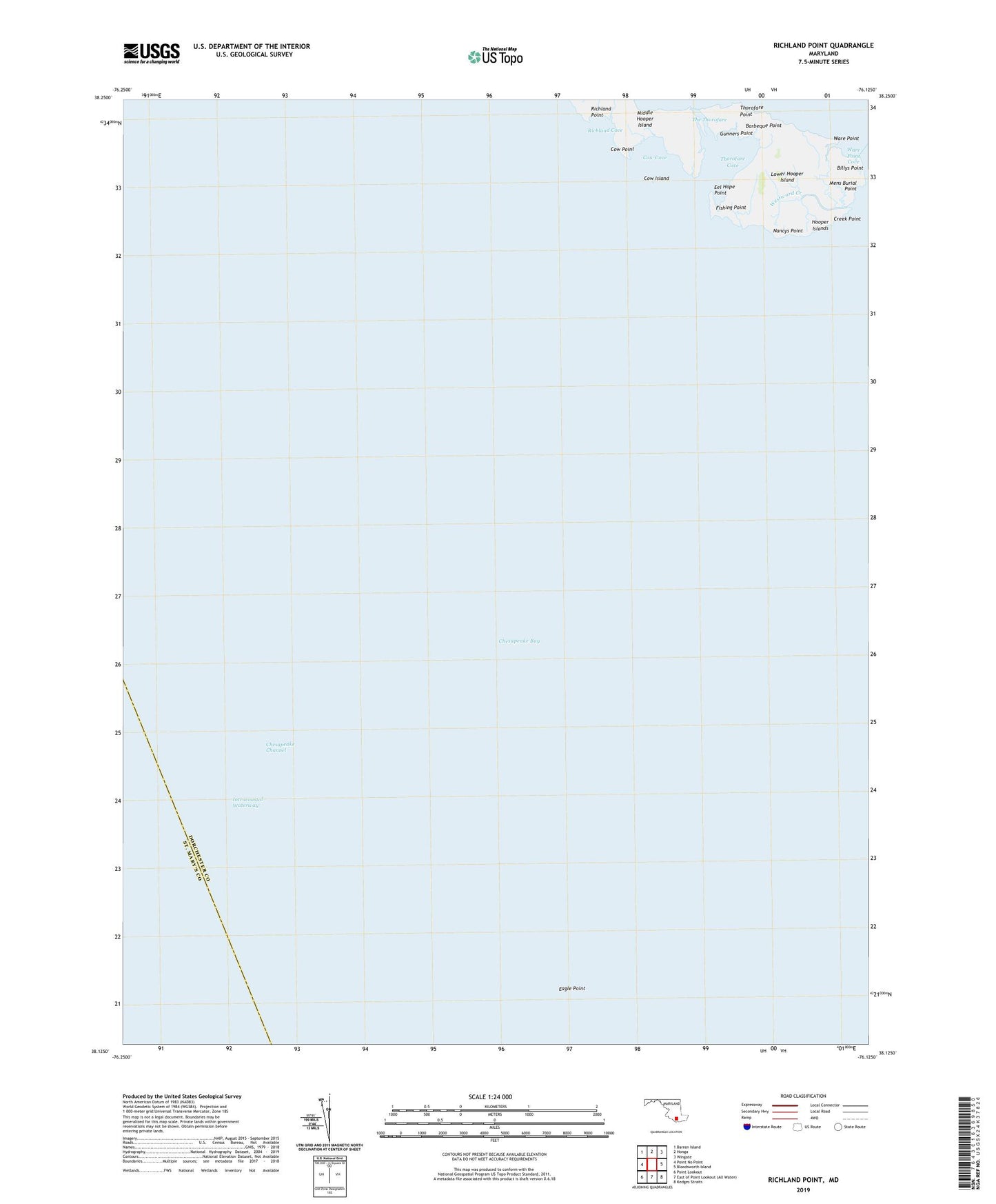
2019 topographic map quadrangle Richland Point in the state of Maryland. Scale: 1:24000. Based on the newly updated USGS 7.5' US Topo map series, this map is in the following counties: Dorchester, St. Mary's. The map contains contour data, water features, and other items you are used to seeing on USGS maps, but also has updated roads and other features. This is the next generation of topographic maps. Printed on high-quality waterproof paper with UV fade-resistant inks.
Quads adjacent to this one:
West: Point No Point
Northwest: Barren Island
North: Honga
Northeast: Wingate
East: Bloodsworth Island
Southeast: Kedges Straits
Southwest: Point Lookout
Contains the following named places: Applegarth, Barbeque Point, Billys Point, Cow Cove, Cow Island, Cow Point, Creek Point, Eagle Point, Eel Hope Point, Fishing Point, Gunners Point, Lower Hooper Island, Mens Burial Point, Nancys Point, Richland Cove, Richland Point, The Thorofare, Thorofare Cove, Thorofare Point, Ware Point, Ware Point Cove, Westward Creek