MyTopo
Dennis OE N Massachusetts US Topo Map
Couldn't load pickup availability
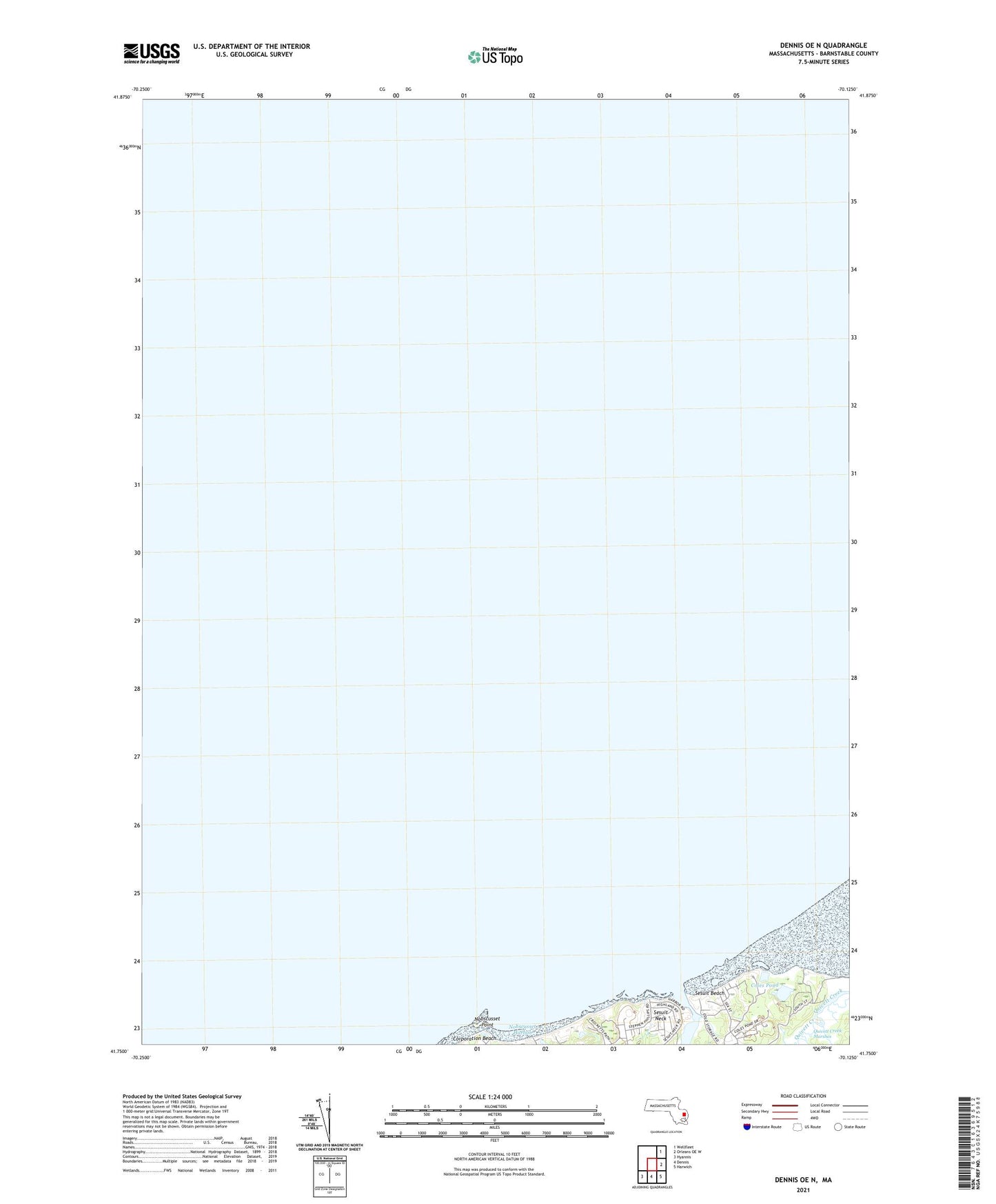
2024 topographic map quadrangle Dennis OE N in the state of Massachusetts. Scale: 1:24000. Based on the newly updated USGS 7.5' US Topo map series, this map is in the following counties: Barnstable. The map contains contour data, water features, and other items you are used to seeing on USGS maps, but also has updated roads and other features. This is the next generation of topographic maps. Printed on high-quality waterproof paper with UV fade-resistant inks.
Quads adjacent to this one:
Northeast: Wellfleet
East: Orleans OE W
Southeast: Harwich
South: Dennis
Southwest: Hyannis
Contains the following named places: Barnstable County, Coles Pond, Corporation Beach, Nobscusset Harbor, Nobscusset Point, Sesuit Beach, Sesuit Harbor, Sesuit Harbor West Jetty Light, Sesuit Neck, Shiverick Shipyard, ZIP Code: 02641