MyTopo
Edgartown OE S Massachusetts US Topo Map
Couldn't load pickup availability
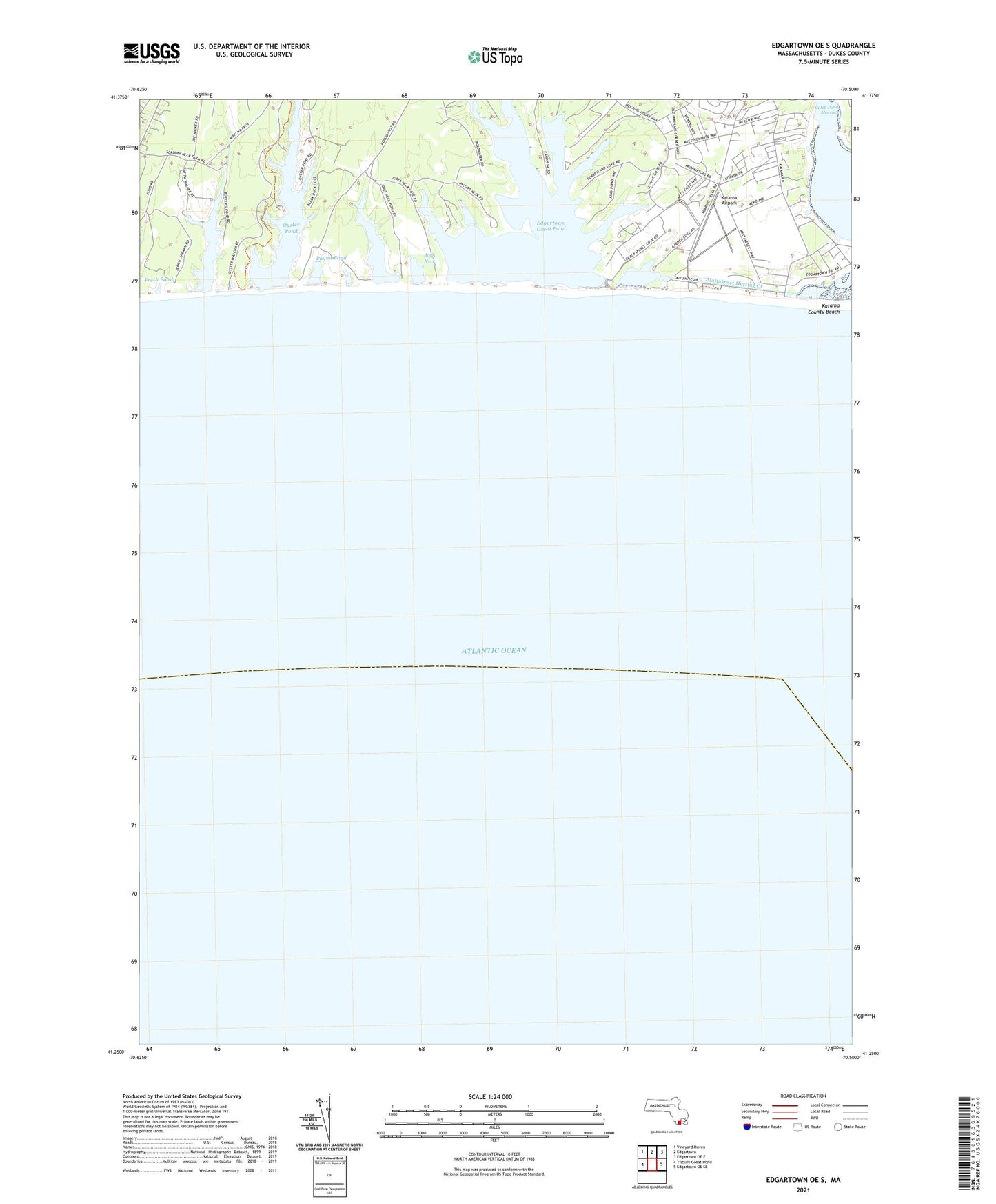
2021 topographic map quadrangle Edgartown OE S in the state of Massachusetts. Scale: 1:24000. Based on the newly updated USGS 7.5' US Topo map series, this map is in the following counties: Dukes. The map contains contour data, water features, and other items you are used to seeing on USGS maps, but also has updated roads and other features. This is the next generation of topographic maps. Printed on high-quality waterproof paper with UV fade-resistant inks.
Quads adjacent to this one:
West: Tisbury Great Pond
Northwest: Vineyard Haven
North: Edgartown
Northeast: Edgartown OE E
East: Edgartown OE SE
Contains the following named places: Bluefish Point, Bold Water Point, Butler Neck, Butler Neck Point, Crackatuxet Cove, Edgartown Great Pond, Fresh Pond, Jacobs Pond, Janes Cove, Jobs Neck, Jobs Neck Cove, Jobs Neck Pond, Kanomika Neck, Katama, Katama Airpark, Katama County Beach, Katama Neck, Katama Wharf, King Point, Long Point Wildlife Refuge, Lyles Bay, Mashacket Cove, Mashacket Neck, Mattakeset Bay, Mattakeset Herring Creek, Oyster Pond, Paqua Pond, Poketapaces Neck, Quohog Point, Ripley Cove, Scrubby Neck, Slough Cove, South Beach, Swan Neck, Swan Neck Point, Swimming Place Point, Turkeyland Cove, Watcha Pond, West Point