MyTopo
Edgartown OE E Massachusetts US Topo Map
Couldn't load pickup availability
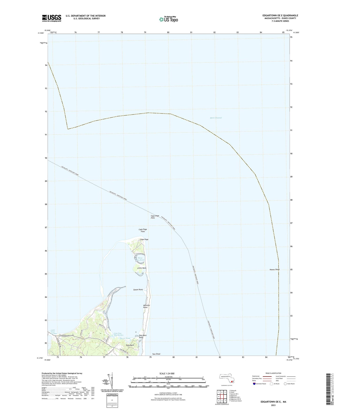
2024 topographic map quadrangle Edgartown OE E in the state of Massachusetts. Scale: 1:24000. Based on the newly updated USGS 7.5' US Topo map series, this map is in the following counties: Dukes. The map contains contour data, water features, and other items you are used to seeing on USGS maps, but also has updated roads and other features. This is the next generation of topographic maps. Printed on high-quality waterproof paper with UV fade-resistant inks.
Quads adjacent to this one:
West: Edgartown
Northwest: Falmouth
North: Cotuit
Northeast: Hyannis OE S
Southeast: Tuckernuck Island
South: Edgartown OE SE
Southwest: Edgartown OE S
Contains the following named places: Allen Rock, Caleb Pond, Cape Poge, Cape Poge Bay, Cape Poge Bay Marshes, Cape Poge Elbow, Cape Poge Flats, Cape Poge Gut, Cape Poge Light, Cape Poge Lighthouse, Cape Pogue Reservation, Chappaquiddick Beach, Chappaquiddick Island, Edgartown Harbor, Hatsett Rock, Hawes Shoal, John Oliver Point, Little Neck, Main Channel, Mill Rock, Monohansett Rock, Natick Island, North Neck, Pease Pond, Sampson Hill, Shear Pen Pond, Simon Point, Sturgeon Flats, Tom Neck Point, Toms Neck, Whistler Point