MyTopo
Edgartown OE SE Massachusetts US Topo Map
Couldn't load pickup availability
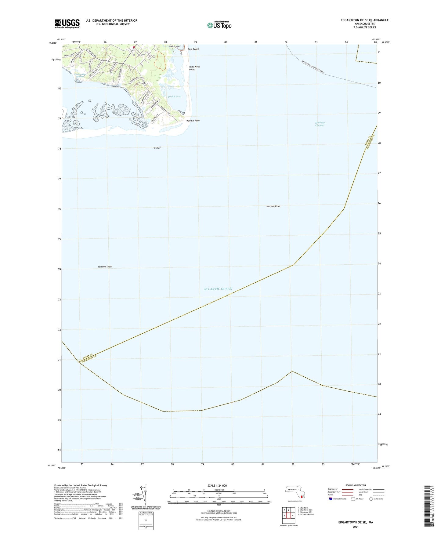
2021 topographic map quadrangle Edgartown OE SE in the state of Massachusetts. Scale: 1:24000. Based on the newly updated USGS 7.5' US Topo map series, this map is in the following counties: Dukes, Nantucket. The map contains contour data, water features, and other items you are used to seeing on USGS maps, but also has updated roads and other features. This is the next generation of topographic maps. Printed on high-quality waterproof paper with UV fade-resistant inks.
Quads adjacent to this one:
West: Edgartown OE S
Northwest: Edgartown
North: Edgartown OE E
East: Tuckernuck Island
Contains the following named places: Dike Bridge, East Beach, Edgartown Fire Department Station 2, Katama Bay, Katama Bay Marshes, Katama Point, Long Point, Muskeget Channel, Mutton Shoal, Norton Point, Pocha Pond, Skiffs Island, Tom Shoal, Toms Neck Point, Town of Edgartown, Washaqua Hill, Wasque Point, Wasque Reservation, Wasque Shoal, Wepua Point, West Opening