MyTopo
Tuckernuck Island Massachusetts US Topo Map
Couldn't load pickup availability
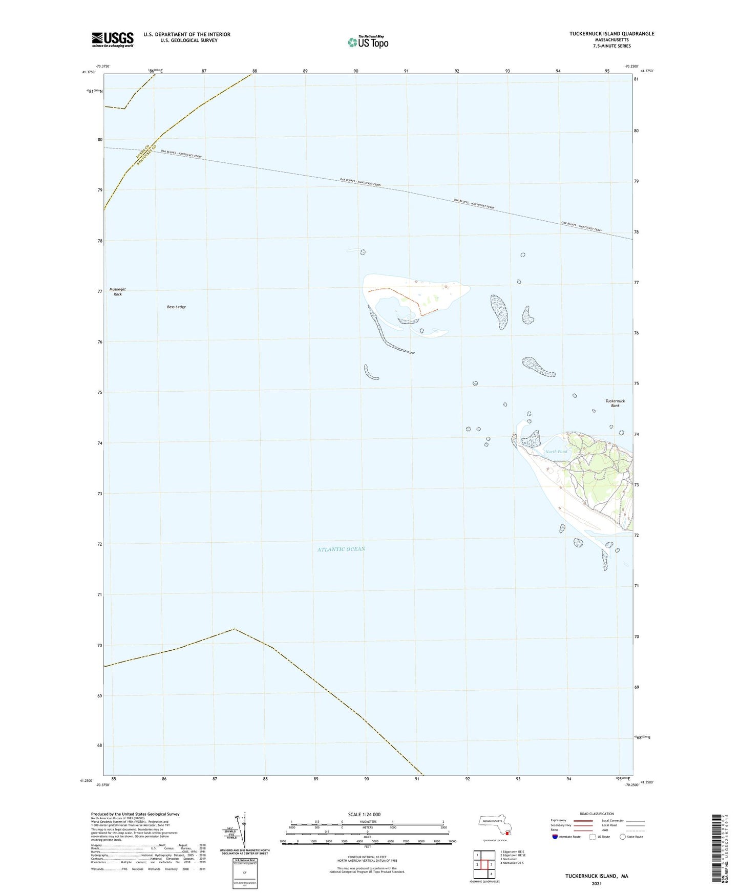
2024 topographic map quadrangle Tuckernuck Island in the state of Massachusetts. Scale: 1:24000. Based on the newly updated USGS 7.5' US Topo map series, this map is in the following counties: Nantucket, Dukes. The map contains contour data, water features, and other items you are used to seeing on USGS maps, but also has updated roads and other features. This is the next generation of topographic maps. Printed on high-quality waterproof paper with UV fade-resistant inks.
Quads adjacent to this one:
West: Edgartown OE SE
Northwest: Edgartown OE E
East: Nantucket
Southeast: Nantucket OE S
This map covers the same area as the classic USGS quad with code o41070c2.
Contains the following named places: Bass Ledge, Gravel Islands, Muskeget Island, Muskeget Island Airport, Muskeget Rock, North Pond, Tuckernuck Bank, Tuckernuck Island