MyTopo
Monomoy Point OE W Massachusetts US Topo Map
Couldn't load pickup availability
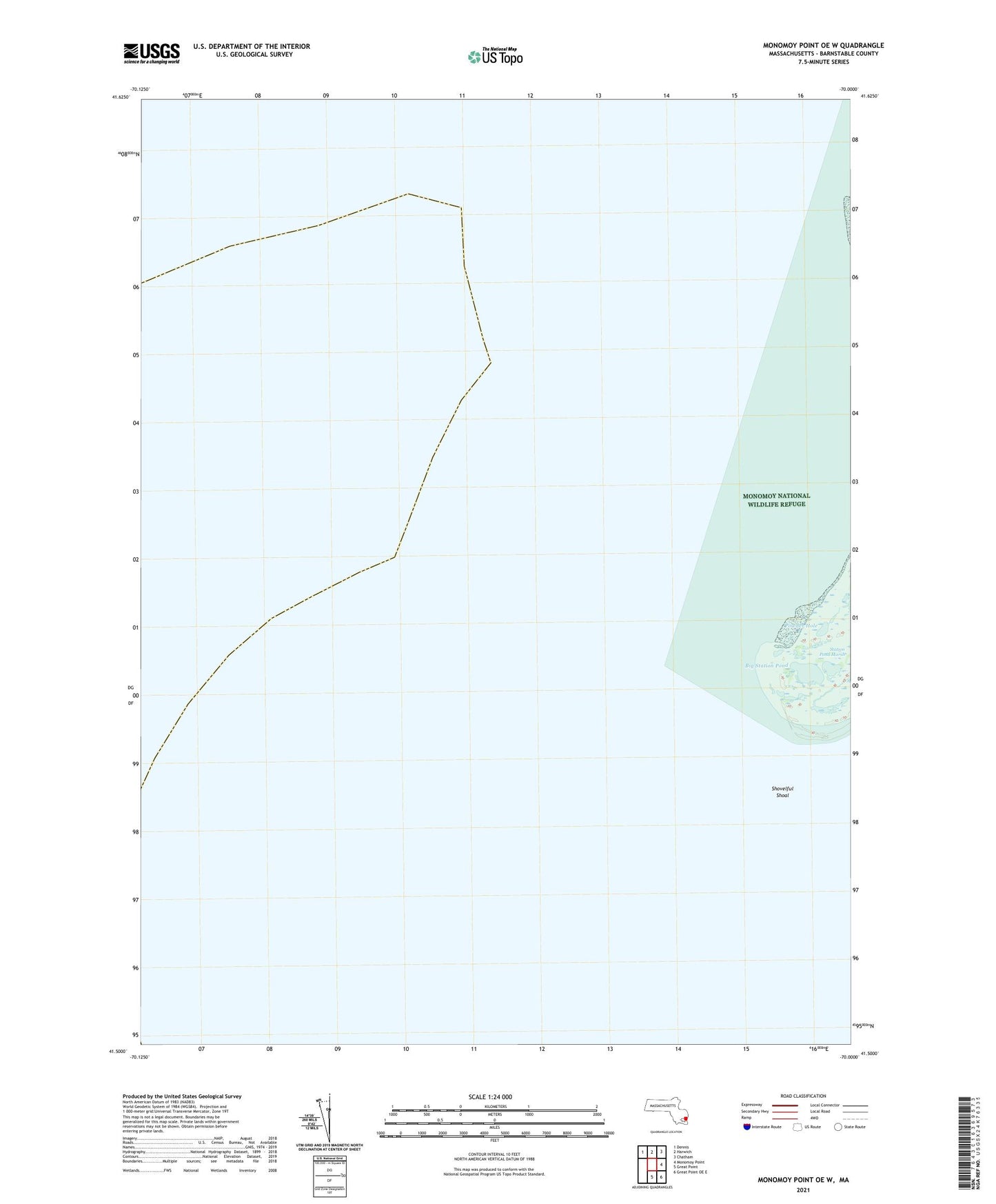
2024 topographic map quadrangle Monomoy Point OE W in the state of Massachusetts. Scale: 1:24000. Based on the newly updated USGS 7.5' US Topo map series, this map is in the following counties: Barnstable. The map contains contour data, water features, and other items you are used to seeing on USGS maps, but also has updated roads and other features. This is the next generation of topographic maps. Printed on high-quality waterproof paper with UV fade-resistant inks.
Quads adjacent to this one:
Northwest: Dennis
North: Harwich
Northeast: Chatham
East: Monomoy Point
Southeast: Great Point OE E
South: Great Point
Contains the following named places: Beach Channel, Big Station Pond, Handkerchief Shoal, Monomoy Point, Powder Hole, Rodgers Shoal, Shovelful Shoal, Station Pond Marsh