MyTopo
North Truro Massachusetts US Topo Map
Couldn't load pickup availability
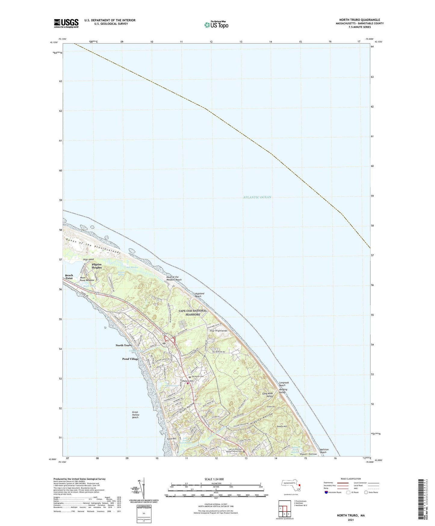
2024 topographic map quadrangle North Truro in the state of Massachusetts. Scale: 1:24000. Based on the newly updated USGS 7.5' US Topo map series, this map is in the following counties: Barnstable. The map contains contour data, water features, and other items you are used to seeing on USGS maps, but also has updated roads and other features. This is the next generation of topographic maps. Printed on high-quality waterproof paper with UV fade-resistant inks.
Quads adjacent to this one:
West: Provincetown
Southeast: Wellfleet OE E
South: Wellfleet
This map covers the same area as the classic USGS quad with code o42070a1.
Contains the following named places: Ballston Beach, Central School, Corn Hill, Great Hollow, Great Hollow Beach, Great Swamp, Green Hill, Hanging Valley, Head of the Meadow Beach, Higgins Hollow, High Head, High Head United States Life Saving Station, Highland Beach, Highland Golf Links, Highland Light, Highland United States Life Saving Station, Hill of Churches Hills of Storms Cemetery, Jenny Lind Tower, Little Pamet River Marshes, Long Nook Valley, Longnook Beach, Moon Pond, Moon Pond Meadow, North Truro, North Truro Post Office, North Truro Station, Old North Cemetery, Pamet Cranberry Bog Trail, Pamet Hollow, Peters Hill, Pilgrim Beach, Pilgrim Heights, Pilgrim Spring, Pilgrim Spring Trail, Pond Landing, Pond Village, Salt Meadow, Small Swamp Trail, Smalls Hill, Snows Field, The Highlands, Town of Truro, Truro Fire Department, Truro Rescue Squad, Truro Town Police Department, Village Pond, WTUR-FM (Truro), ZIP Code: 02652