MyTopo
Wellfleet OE E Massachusetts US Topo Map
Couldn't load pickup availability
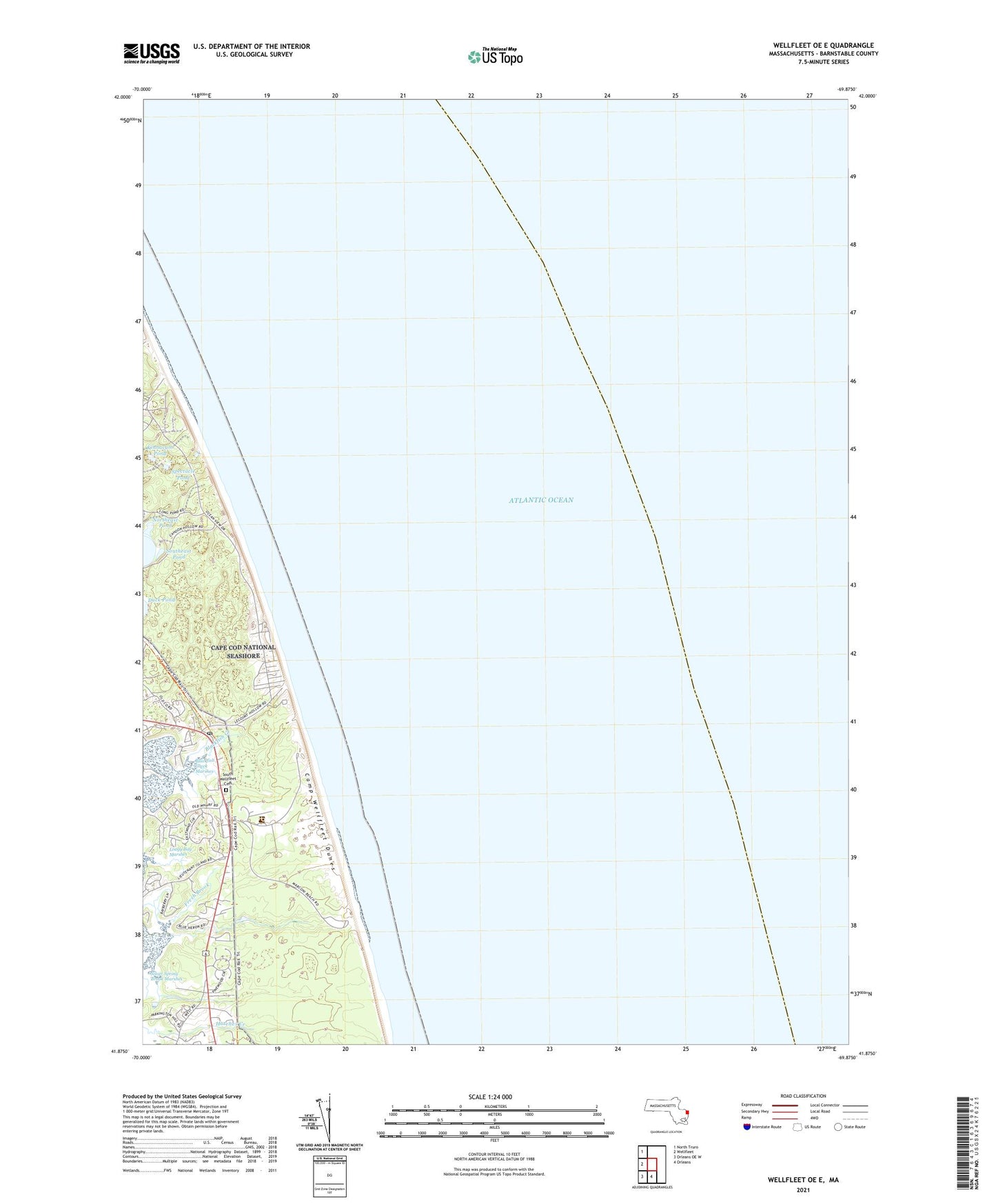
2024 topographic map quadrangle Wellfleet OE E in the state of Massachusetts. Scale: 1:24000. Based on the newly updated USGS 7.5' US Topo map series, this map is in the following counties: Barnstable. The map contains contour data, water features, and other items you are used to seeing on USGS maps, but also has updated roads and other features. This is the next generation of topographic maps. Printed on high-quality waterproof paper with UV fade-resistant inks.
Quads adjacent to this one:
West: Wellfleet
Northwest: North Truro
South: Orleans
Southwest: Orleans OE W
Contains the following named places: Blackfish Creek Marshes, Brook Village, Cahoon Hollow, Cahoon Hollow Beach, Cahoon Hollow United States Life Saving Station, Camp Wellfleet Dunes, Cape Cod National Seashore Headquarters, Drummer Cove, Fresh Brook, Kinnacum Pond, Le Count Hollow, Maguire Landing, Maguire Landing Beach, Marconi Beach, Marconi Station Site, Nauset Regional School, Newcomb Hollow, Newcomb Hollow Beach, Northeast Pond, Pleasant Point, Silver Spring Brook, South Wellfleet, South Wellfleet Cemetery, South Wellfleet Post Office, Southeast Pond, Spectacle Pond, Wellfleet by the Sea, Wellfleet Drive-In, White Crest Beach