MyTopo
Siasconset OE E Massachusetts US Topo Map
Couldn't load pickup availability
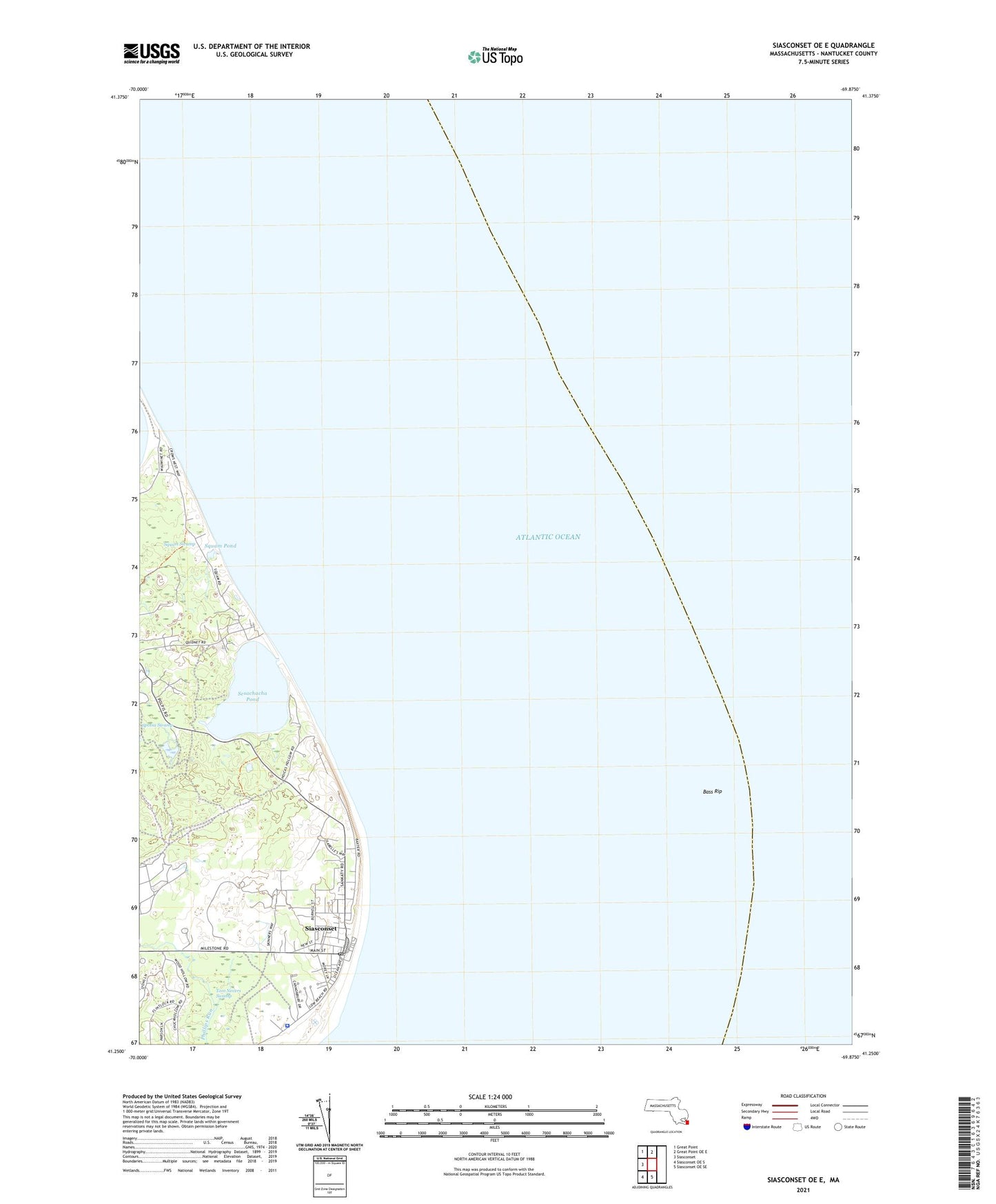
2024 topographic map quadrangle Siasconset OE E in the state of Massachusetts. Scale: 1:24000. Based on the newly updated USGS 7.5' US Topo map series, this map is in the following counties: Nantucket. The map contains contour data, water features, and other items you are used to seeing on USGS maps, but also has updated roads and other features. This is the next generation of topographic maps. Printed on high-quality waterproof paper with UV fade-resistant inks.
Quads adjacent to this one:
West: Siasconset
Northwest: Great Point
North: Great Point OE E
South: Siasconset OE SE
Southwest: Siasconset OE S
Contains the following named places: Bass Rip, Cains Hill, Cains Pond, Chadwicks Folly, Codfish Park, Haulover, Hoicks Hollow, Low Beach, Plainfield, Quidnet, Quidnet Beach, Sankaty Head, Sankaty Head Golf Club, Sankaty Head Light, Sesachacha, Sesachacha Pond, Siasconset, Siasconset Beach, Siasconset Census Designated Place, Siasconset Golf Course, Siasconset Post Office, South East Quarter, Split Rock, Squam, Squam Head, Squam Pond, Tom Nevers Swamp, Union Chapel, Wauwinet, ZIP Code: 02564