MyTopo
Siasconset OE S Massachusetts US Topo Map
Couldn't load pickup availability
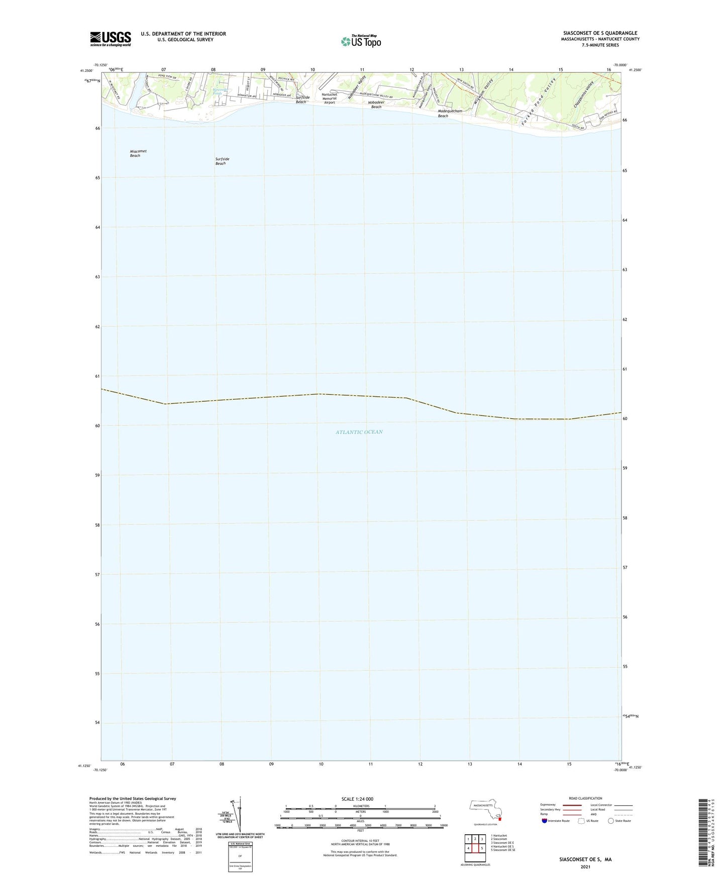
2024 topographic map quadrangle Siasconset OE S in the state of Massachusetts. Scale: 1:24000. Based on the newly updated USGS 7.5' US Topo map series, this map is in the following counties: Nantucket. The map contains contour data, water features, and other items you are used to seeing on USGS maps, but also has updated roads and other features. This is the next generation of topographic maps. Printed on high-quality waterproof paper with UV fade-resistant inks.
Quads adjacent to this one:
West: Nantucket OE S
Northwest: Nantucket
North: Siasconset
Northeast: Siasconset OE E
East: Siasconset OE SE
Contains the following named places: Chappomiss Valley, Forked Pond Valley, Long Josephs Point, Madequecham Beach, Madequecham Pond, Madequecham Valley, Miacomet Beach, Miacomet Pond, Miacomet Rip, Nobadeer Beach, Nobadeer Valley, South Shore, Surfside, Surfside Beach, Weweeder Ponds, Wigwam Pond, Wigwam Valley