MyTopo
Atwood OE W Michigan US Topo Map
Couldn't load pickup availability
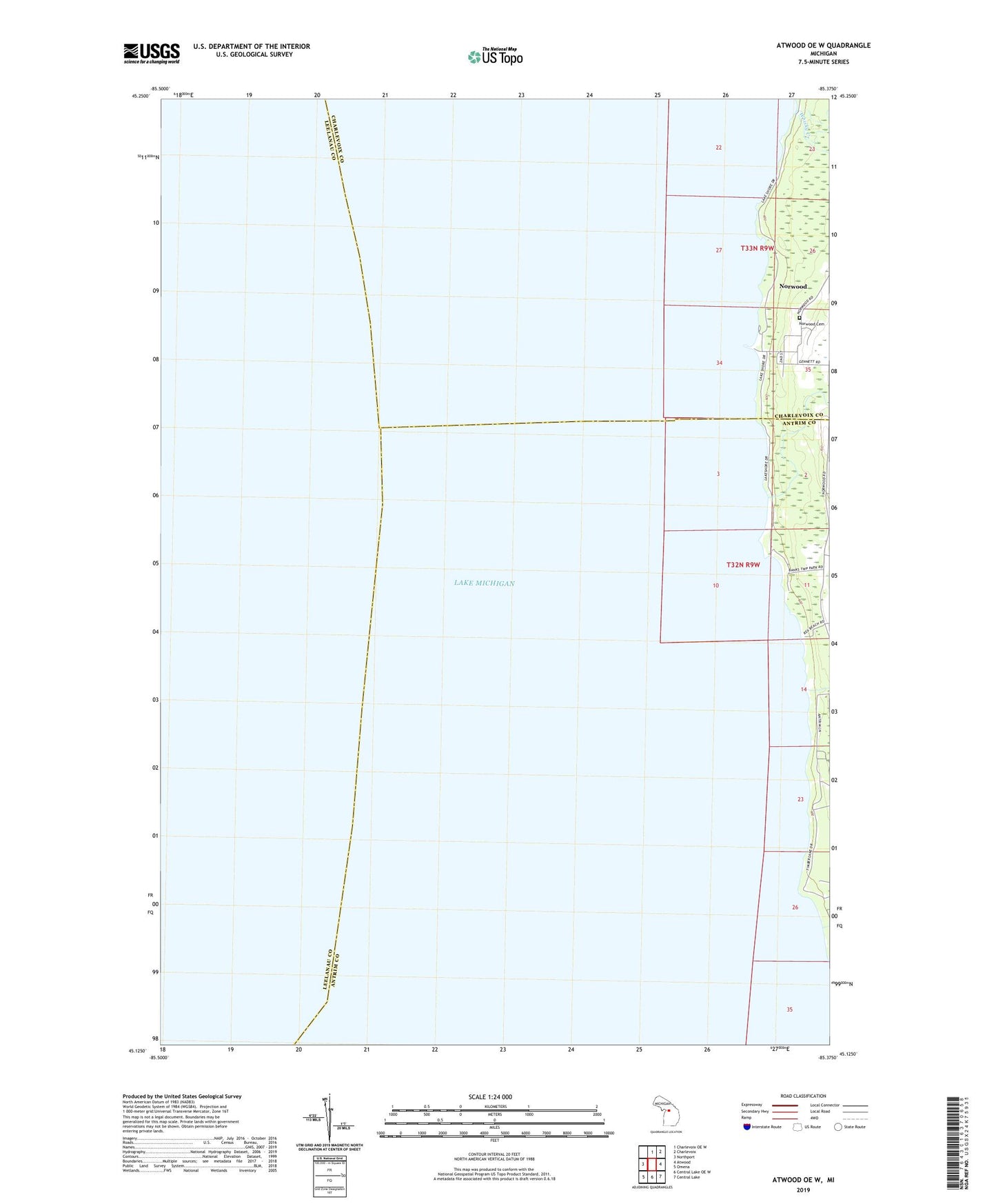
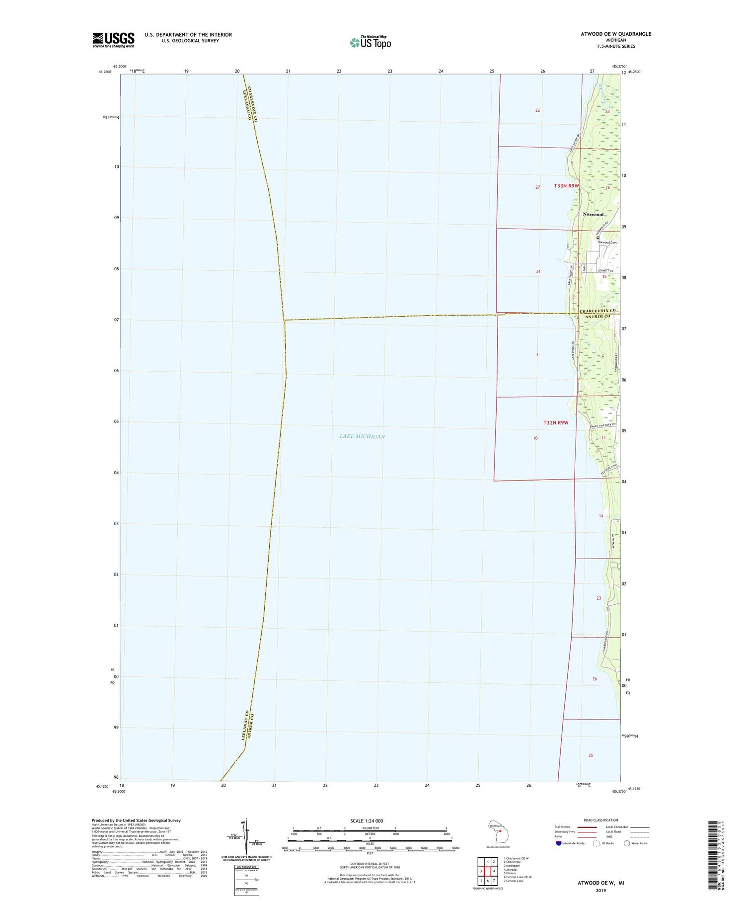
2019 topographic map quadrangle Atwood OE W in the state of Michigan. Scale: 1:24000. Based on the newly updated USGS 7.5' US Topo map series, this map is in the following counties: Antrim, Leelanau, Charlevoix. The map contains contour data, water features, and other items you are used to seeing on USGS maps, but also has updated roads and other features. This is the next generation of topographic maps. Printed on high-quality waterproof paper with UV fade-resistant inks.
Quads adjacent to this one:
West: Northport
North: Charlevoix OE W
Northeast: Charlevoix
East: Atwood
Southeast: Central Lake
South: Central Lake OE W
Southwest: Omena
Contains the following named places: Antrim City Post Office, Antrim Creek, Banks Township Park, Norwood, Norwood Cemetery, Norwood Census Designated Place, Norwood Post Office, Norwood Township Hall Historical Marker, Whisky Creek