MyTopo
Atwood Michigan US Topo Map
Couldn't load pickup availability
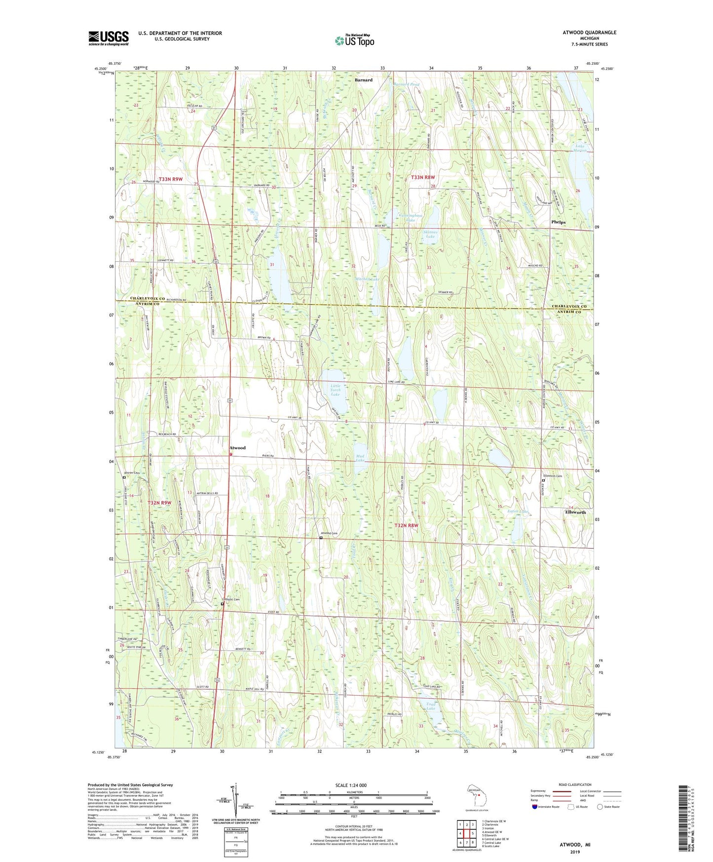
2023 topographic map quadrangle Atwood in the state of Michigan. Scale: 1:24000. Based on the newly updated USGS 7.5' US Topo map series, this map is in the following counties: Antrim, Charlevoix. The map contains contour data, water features, and other items you are used to seeing on USGS maps, but also has updated roads and other features. This is the next generation of topographic maps. Printed on high-quality waterproof paper with UV fade-resistant inks.
Quads adjacent to this one:
West: Atwood OE W
Northwest: Charlevoix OE W
North: Charlevoix
Northeast: Ironton
East: Ellsworth
Southeast: Scotts Lake
South: Central Lake
Southwest: Central Lake OE W
This map covers the same area as the classic USGS quad with code o45085b3.
Contains the following named places: Antrim Cemetery, Antrim Dells Golf Course, Atwood, Atwood Cemetery, Atwood Church, Atwood Post Office, Banks Township Fire Department Atwood Station, Banks Township Park, Barnard Pond, Barnard United Methodist Church, Bell Tower Church, Carpenter Lake, Catholic Cemetery, Cunningham Lake, Eaton Lake, Ellsworth Cemetery, Essex Historical Marker, Essex Post Office, Gospel Center Church, Guyer Creek, Harwood Lake, King Creek, Lake Marion, Little Torch Lake, Marion Creek, Mason Creek, Matchett Lake, Mitchell Lake, Moblo Lake, Mud Lake, Phelps, Phelps Post Office, Skinner Lake, The Wayside Chapel, Toad Creek, Toad Lake, Township of Banks, Township of Marion, Twin Lakes, ZIP Code: 49729