MyTopo
Barton City Michigan US Topo Map
Couldn't load pickup availability
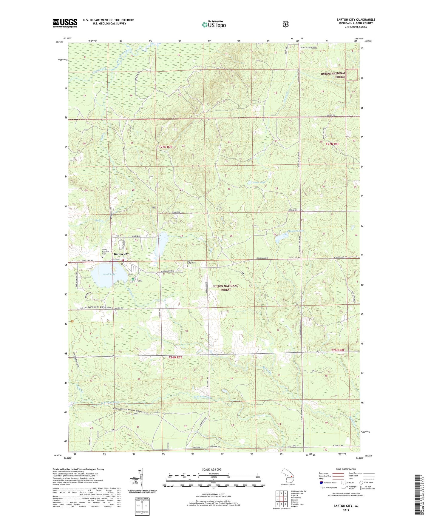
2019 topographic map quadrangle Barton City in the state of Michigan. Scale: 1:24000. Based on the newly updated USGS 7.5' US Topo map series, this map is in the following counties: Alcona. The map contains contour data, water features, and other items you are used to seeing on USGS maps, but also has updated roads and other features. This is the next generation of topographic maps. Printed on high-quality waterproof paper with UV fade-resistant inks.
Quads adjacent to this one:
West: Bucks Pond
Northwest: Hubbard Lake SW
North: Hubbard Lake
Northeast: Spruce
East: Lincoln
Southeast: Mikado
South: Sprinkler Lake
Southwest: Glennie
Contains the following named places: Barton City, Barton City Fire Department, Barton City Post Office, Buff Creek, Burgess Park, Comstock Creek, Jewell Lake, Jewell Lake Campground, Little North Creek, Loud Creek, Maple Ridge Cemetery, Maynard Lake, New Life Lutheran Church, Potter Lake, Township of Hawes, Trinity Church, Trinity Lutheran Cemetery, WBKB-TV (Alpena)