MyTopo
Beaver Island South Michigan US Topo Map
Couldn't load pickup availability
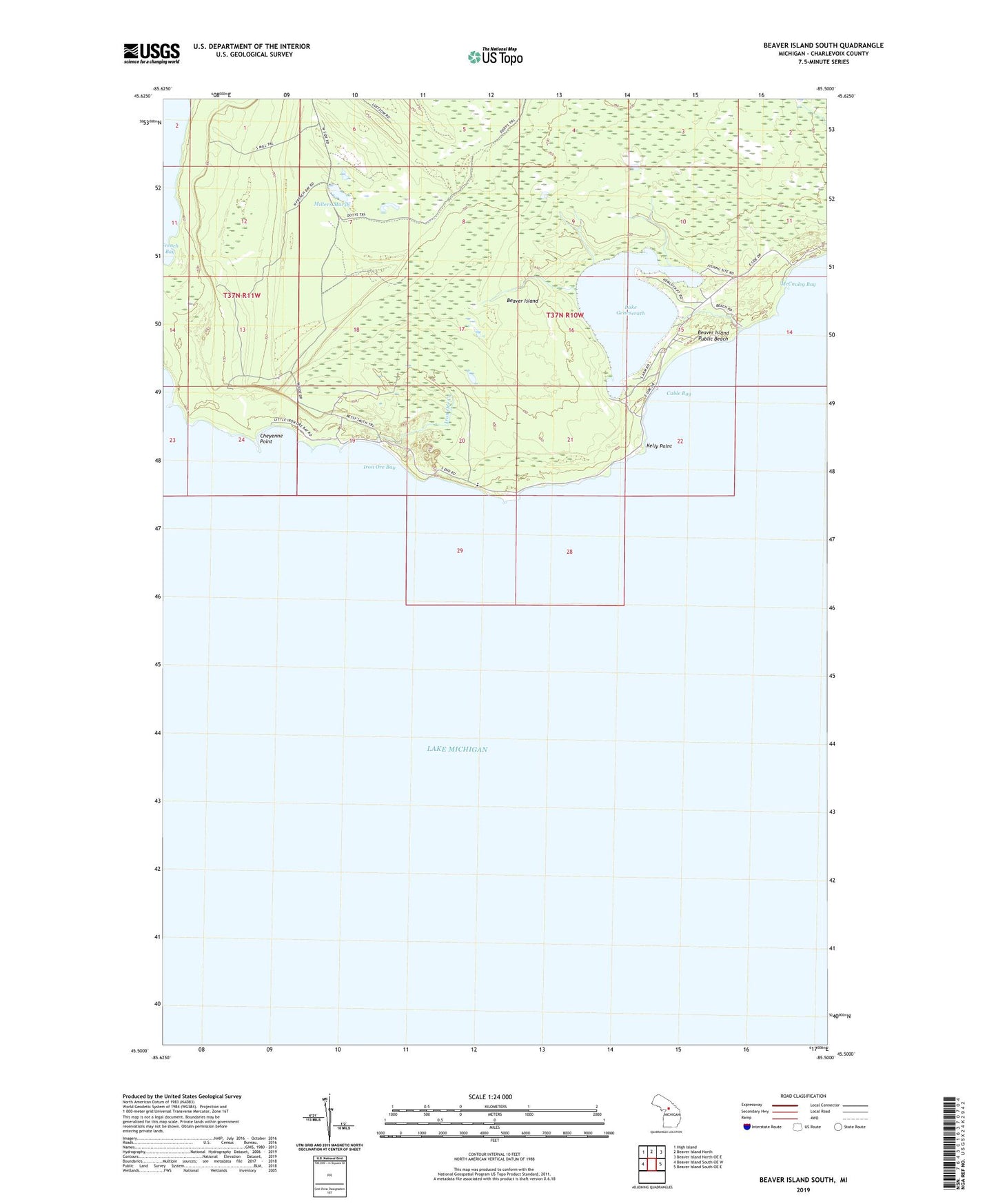
2023 topographic map quadrangle Beaver Island South in the state of Michigan. Scale: 1:24000. Based on the newly updated USGS 7.5' US Topo map series, this map is in the following counties: Charlevoix. The map contains contour data, water features, and other items you are used to seeing on USGS maps, but also has updated roads and other features. This is the next generation of topographic maps. Printed on high-quality waterproof paper with UV fade-resistant inks.
Quads adjacent to this one:
West: Beaver Island South OE W
Northwest: High Island
North: Beaver Island North
Northeast: Beaver Island North OE E
East: Beaver Island South OE E
This map covers the same area as the classic USGS quad with code o45085e5.
Contains the following named places: Beaver Island Lighthouse, Beaver Island Public Beach, Cable Bay, Cheyenne Point, French Bay, Iron Ore Bay, Iron Ore Creek, Kelly Point, Lake Geneserath, McCauley Bay, Millers Marsh, Nomad, Nomad Post Office