MyTopo
Cup Lake Michigan US Topo Map
Couldn't load pickup availability
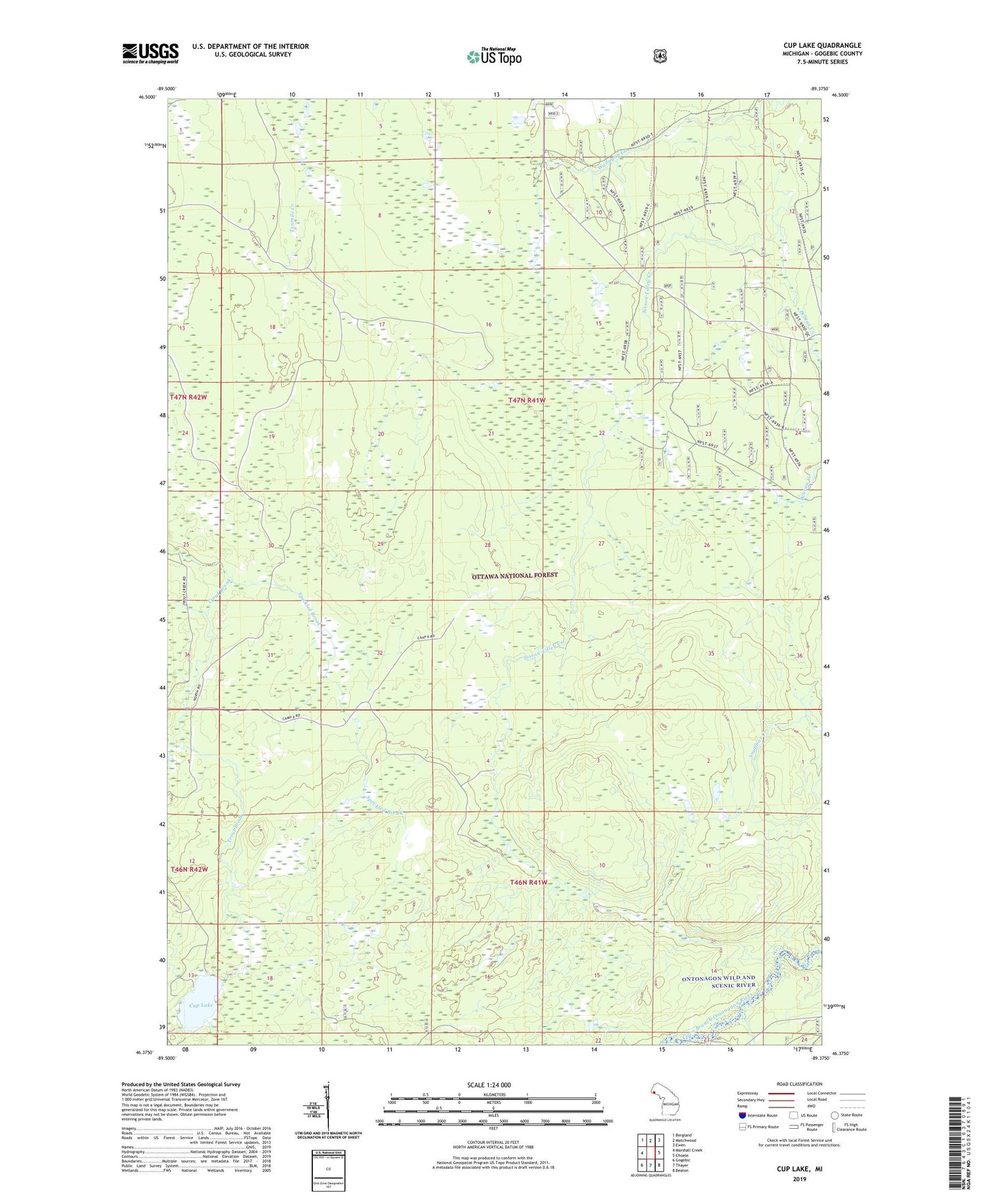
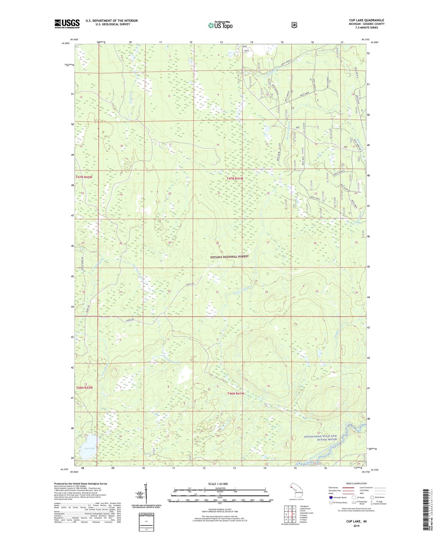
2019 topographic map quadrangle Cup Lake in the state of Michigan. Scale: 1:24000. Based on the newly updated USGS 7.5' US Topo map series, this map is in the following counties: Gogebic. The map contains contour data, water features, and other items you are used to seeing on USGS maps, but also has updated roads and other features. This is the next generation of topographic maps. Printed on high-quality waterproof paper with UV fade-resistant inks.
Quads adjacent to this one:
West: Marshall Creek
Northwest: Bergland
North: Matchwood
Northeast: Ewen
East: Choate
Southeast: Beaton
South: Thayer
Southwest: Gogebic
Contains the following named places: Bebeau Creek, Cup Lake, Matchwood Campground, Matchwood Lookout Tower, Sisson-Lilley Creek, Speckled Brook