MyTopo
Hartland Michigan US Topo Map
Couldn't load pickup availability
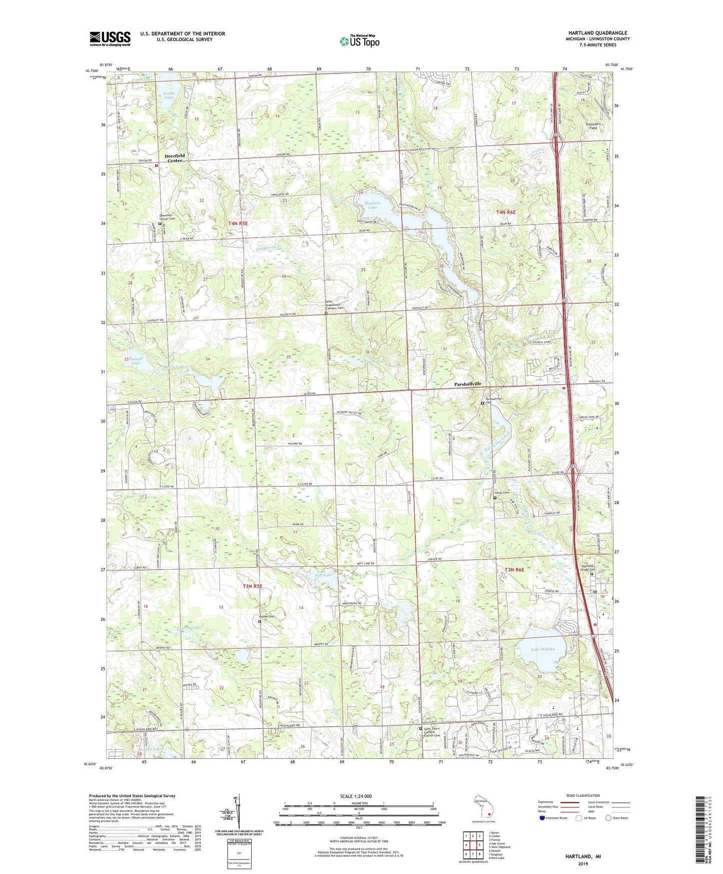
2023 topographic map quadrangle Hartland in the state of Michigan. Scale: 1:24000. Based on the newly updated USGS 7.5' US Topo map series, this map is in the following counties: Livingston. The map contains contour data, water features, and other items you are used to seeing on USGS maps, but also has updated roads and other features. This is the next generation of topographic maps. Printed on high-quality waterproof paper with UV fade-resistant inks.
Quads adjacent to this one:
West: Oak Grove
Northwest: Byron
North: Linden
Northeast: Fenton
East: West Highland
Southeast: Kent Lake
South: Brighton
Southwest: Howell
This map covers the same area as the classic USGS quad with code o42083f7.
Contains the following named places: Barris Lake, Catholic Cemetery, Charyl Stockwell Academy, Church Lake, Creekside Elementary School, Cromaine Library, Deerfield Center, Deerfield Center Cemetery, Fausett Lake, Fellowship Bible Church, Florence B Deering Museum Historical Marker, Hardy Church, Hartland, Hartland Burying Ground Historical Marker, Hartland Deerfield Authority Fire Station 61 Main Station, Hartland Deerfield Authority Fire Station 62, Hartland Deerfield Fire Station 63, Hartland Middle School, Hartland Music Hall Historical Marker, Hartland Post Office, Hartland United Methodist Church, Hartland Village Cemetery, Ironwood Golf Course, Lake Walden, Life Christian Church, Livingston County Michigan Emergency Medical Services Department Station 104, Logan Lakes, Louise Lake, Madison Post Office, Majestic at Lake Walden Golf Course, Neff Lake, Oceola Center Post Office, Parshallville, Parshallville Cemetery, Parshallville Post Office, Payne Lake, Riddle Cemetery, Saint Augustine Church, Saint Augustine's Catholic Cemetery, Saint John Church, Saint John the Baptist Catholic Church Historical Marker, Saint John's Catholic Church Cemetery, Shannon Lake, Smith Cemetery, Tom Walker's Grist Mill Historical Marker, Township of Deerfield, Township of Oceola, Trollman's Field, Tyrone Hills Golf Club, Victory Baptist Church


