MyTopo
Marne Michigan US Topo Map
Couldn't load pickup availability
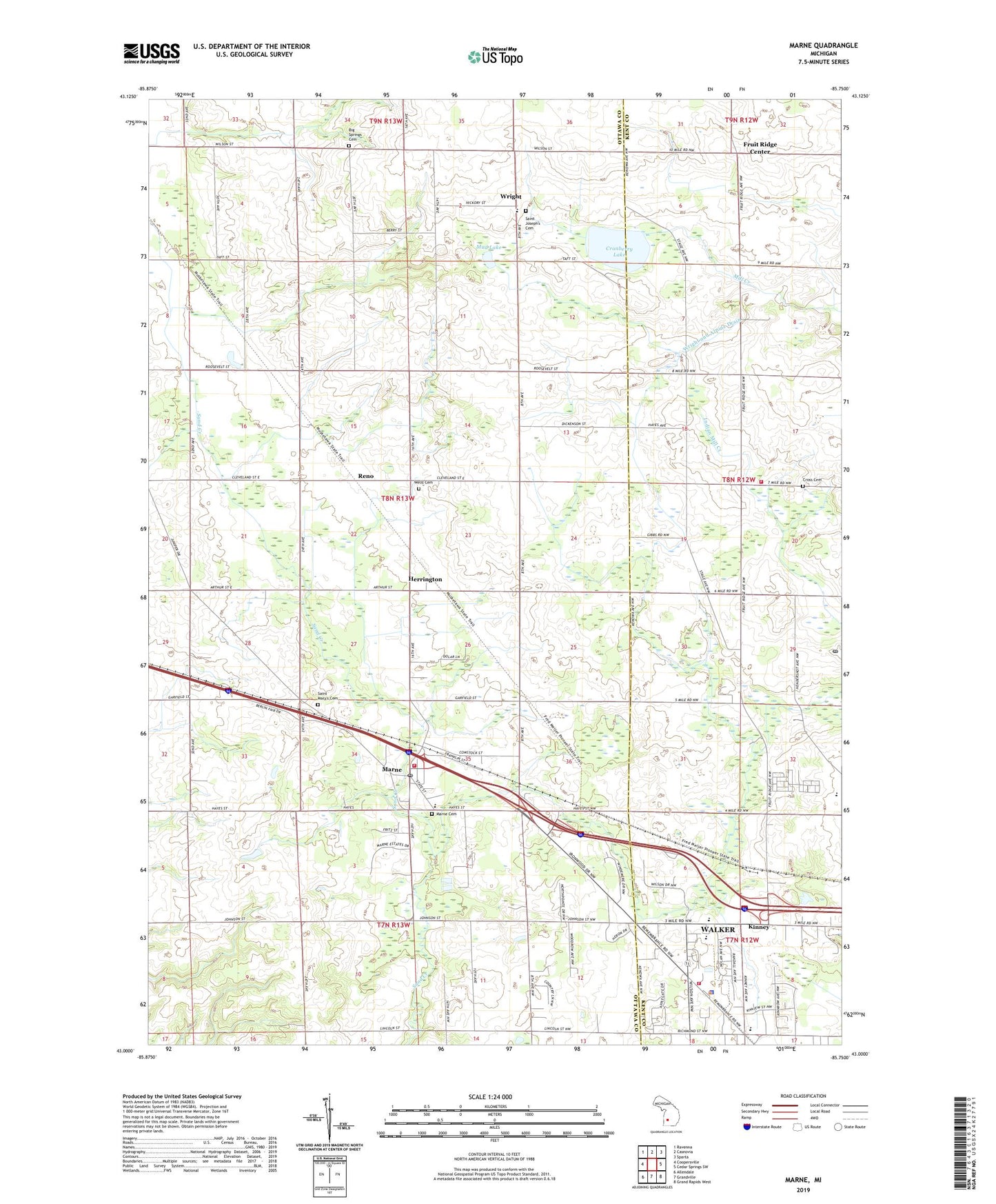
2023 topographic map quadrangle Marne in the state of Michigan. Scale: 1:24000. Based on the newly updated USGS 7.5' US Topo map series, this map is in the following counties: Ottawa, Kent. The map contains contour data, water features, and other items you are used to seeing on USGS maps, but also has updated roads and other features. This is the next generation of topographic maps. Printed on high-quality waterproof paper with UV fade-resistant inks.
Quads adjacent to this one:
West: Coopersville
Northwest: Ravenna
North: Casnovia
Northeast: Sparta
East: Cedar Springs SW
Southeast: Grand Rapids West
South: Grandville
Southwest: Allendale
This map covers the same area as the classic USGS quad with code o43085a7.
Contains the following named places: Alpine Township Fire Department Station 2, Beach Grove School, Berlin Baptist Church, Big Spring Post Office, Big Springs Cemetery, Big Springs School, Boyd School, Carroll School, Clayton School, Country Village Mobile Park, Cranberry Lake, Cross Cemetery, Diamond School, Fruit Ridge Center, Herrington, Herrington Post Office, Herrington Station, Kauff Dam, Kenowa Hills Intermediate School, Kent City Township Library, Kinney, Kinney Post Office, Kinney Station, Laubach Inter-County Drain, Marne, Marne Cemetery, Marne Elementary School, Marne Post Office, Marne Station, Marne United Methodist Church, Miller School, Mud Lake, Pleasant Post Office, Remembrance Reformed Church, Reno, Reno Post Office, Reno Station, Saint Joseph Catholic Church, Saint Joseph School, Saint Joseph's Cemetery, Saint Mary's Cemetery, Saint Marys Church, Sand Creek Golf Club, Star School 13, Township of Wright, Walker, Walker Fire Department Station 1, Walker Library, Walker Police Department, Walker Station School, Walker United Reformed Church, Wells Cemetery, Western Greens Country Club, Wilson School, Wright, Wright - Tallmadge Fire Department Station 1, Wright and Alpine Drain, Wright Post Office, ZIP Code: 49435


