MyTopo
Ravenna Michigan US Topo Map
Couldn't load pickup availability
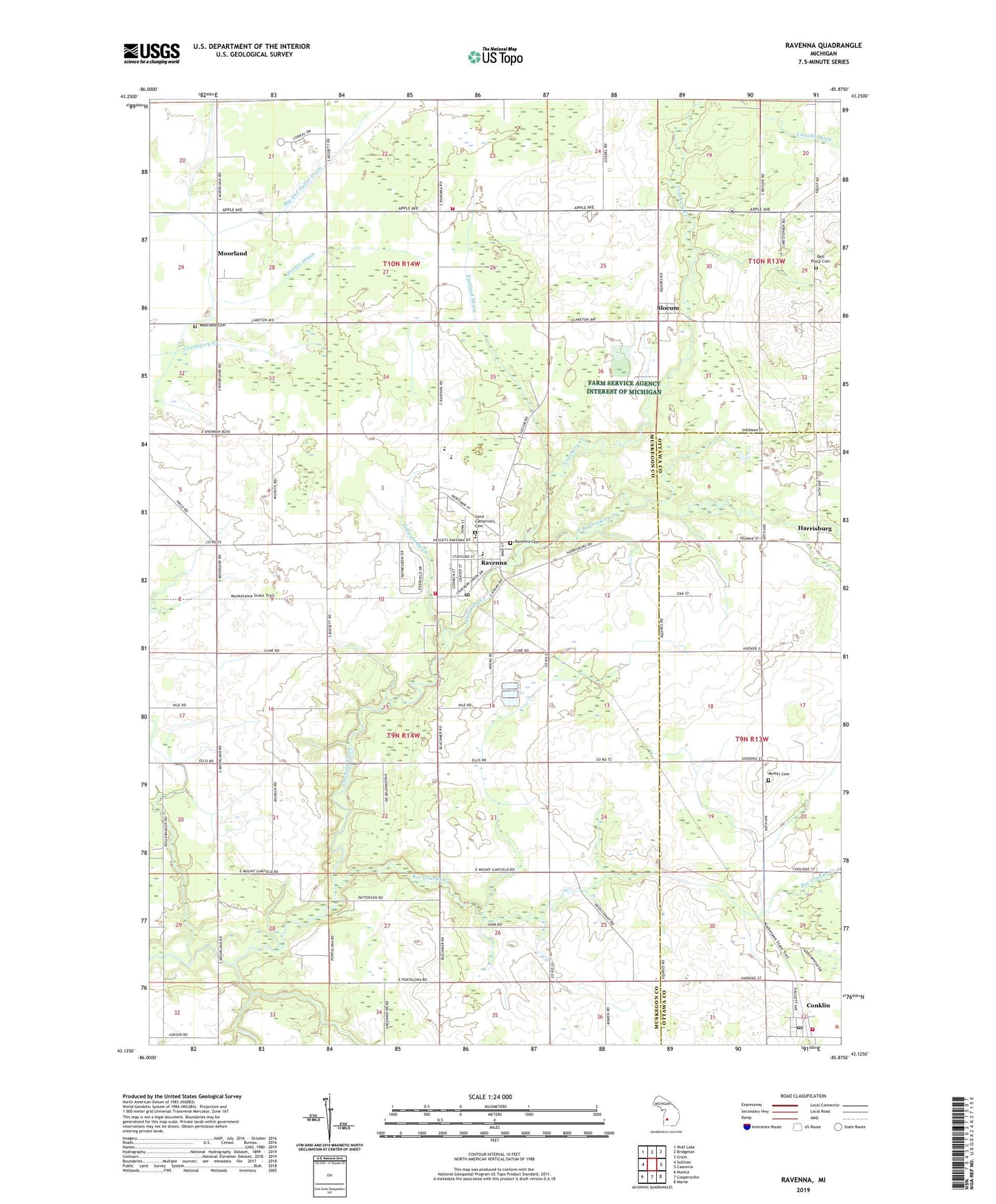
2023 topographic map quadrangle Ravenna in the state of Michigan. Scale: 1:24000. Based on the newly updated USGS 7.5' US Topo map series, this map is in the following counties: Muskegon, Ottawa. The map contains contour data, water features, and other items you are used to seeing on USGS maps, but also has updated roads and other features. This is the next generation of topographic maps. Printed on high-quality waterproof paper with UV fade-resistant inks.
Quads adjacent to this one:
West: Sullivan
Northwest: Wolf Lake
North: Bridgeton
Northeast: Grant
East: Casnovia
Southeast: Marne
South: Coopersville
Southwest: Nunica
This map covers the same area as the classic USGS quad with code o43085b8.
Contains the following named places: Beechnau Elementary School, Bell Place Cemetery, Big and Outlet Drain, Canada Drain, Champion School, Chester Township Fire Department, Conklin, Conklin High School, Conklin Post Office, Conklin Reformed Church, Conklin Station, Crickelwood Court Mobile Home Park, Eastland Drain, First Baptist Church of Palo, First Reformed Church of Ravenna, Fisher School, Frank School, Free Methodist Church, Hoogstraat School, Kellys Corners, Kinne Drain, Lakes Community Church, McNitt Cemetery, McNitt School, Moorland, Moorland Cemetery, Moorland Post Office, Moorland Township Fire Department, Morland Corner, Moss Ridge Golf Club, North Branch Crockery Creek, Patterson Park, Porter Drain, Price School, Ravenna, Ravenna Baptist Church, Ravenna Cemetery, Ravenna Creek Golf Course, Ravenna Family Practice, Ravenna Fire Department, Ravenna High School, Ravenna Middle School, Ravenna Post Office, Ravenna Station, Ravenna Township Public Library, Ravenna United Methodist Church, Rio Grande Creek, Saint Catherines Cemetery, Saint Catherine's Church, Saint Catherine's School, Six Corners Post Office, Slocum, Slocum Post Office, Tidioute Drain, Township of Moorland, Township of Ravenna, Village of Ravenna, Wayside Chapel, Zoll School, ZIP Code: 49451


