MyTopo
Marquette OE E Michigan US Topo Map
Couldn't load pickup availability
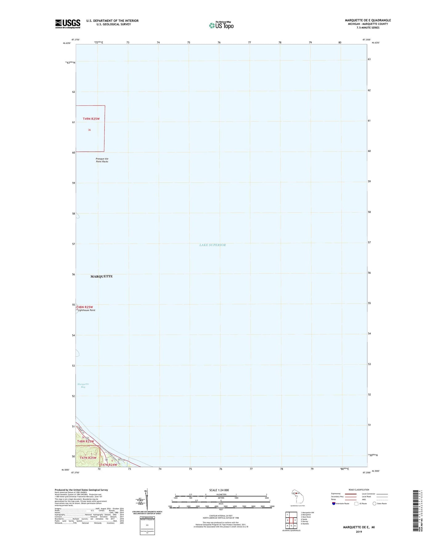
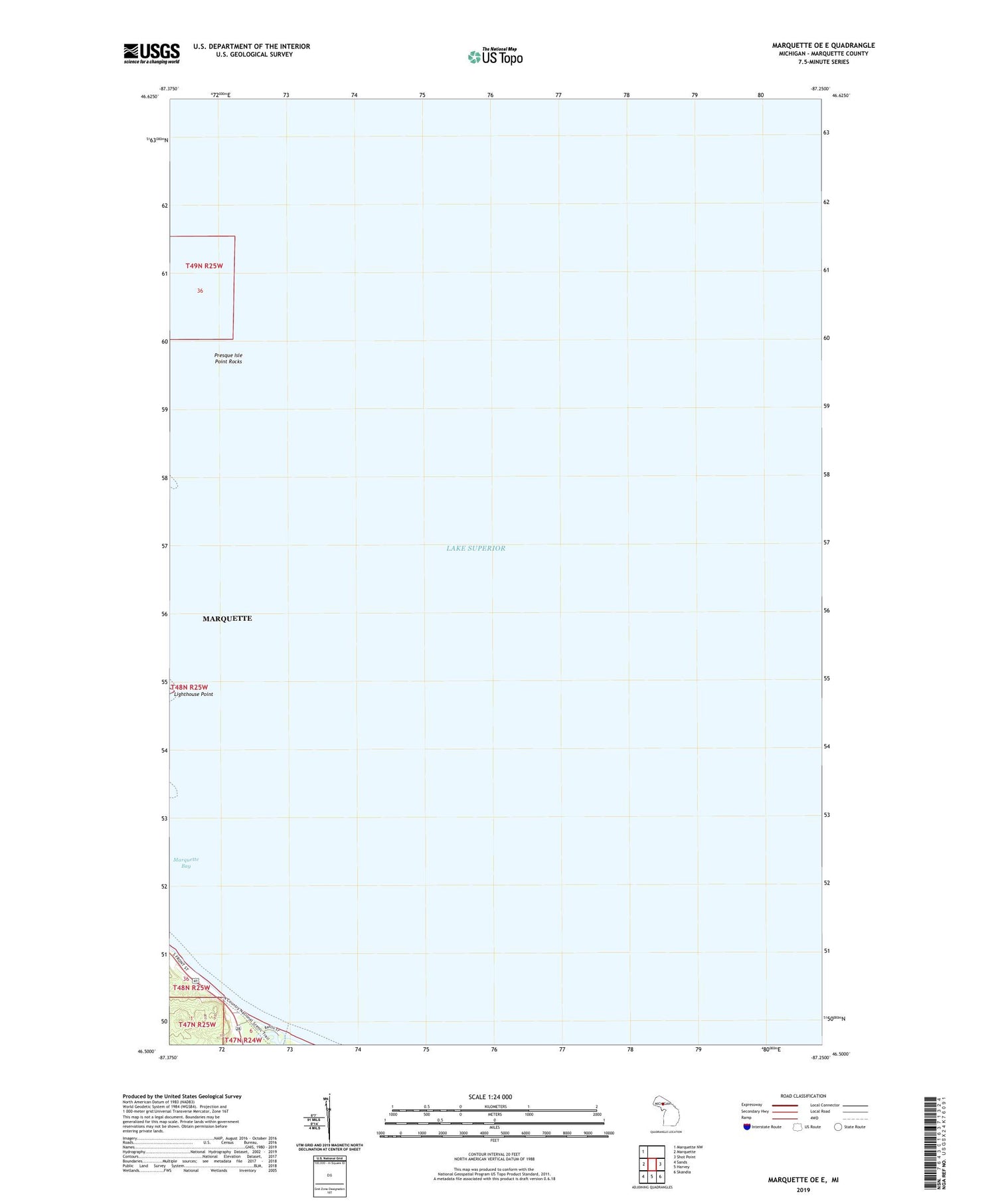
2019 topographic map quadrangle Marquette OE E in the state of Michigan. Scale: 1:24000. Based on the newly updated USGS 7.5' US Topo map series, this map is in the following counties: Marquette. The map contains contour data, water features, and other items you are used to seeing on USGS maps, but also has updated roads and other features. This is the next generation of topographic maps. Printed on high-quality waterproof paper with UV fade-resistant inks.
Quads adjacent to this one:
West: Marquette
Northwest: Marquette NW
East: Shot Point
Southeast: Skandia
South: Harvey
Southwest: Sands
Contains the following named places: Chocolay River, Jehovah's Witnesses, Michigan Welcome Center, Presque Isle Breakwater Lighthouse, Presque Isle Point Rocks