MyTopo
Merwin Lake Michigan US Topo Map
Couldn't load pickup availability
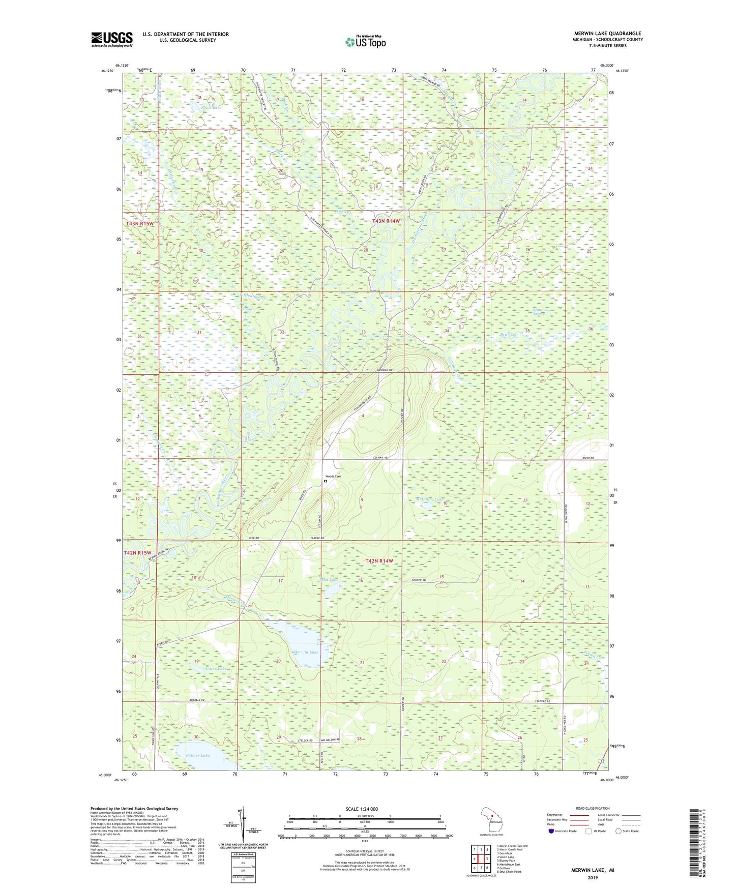
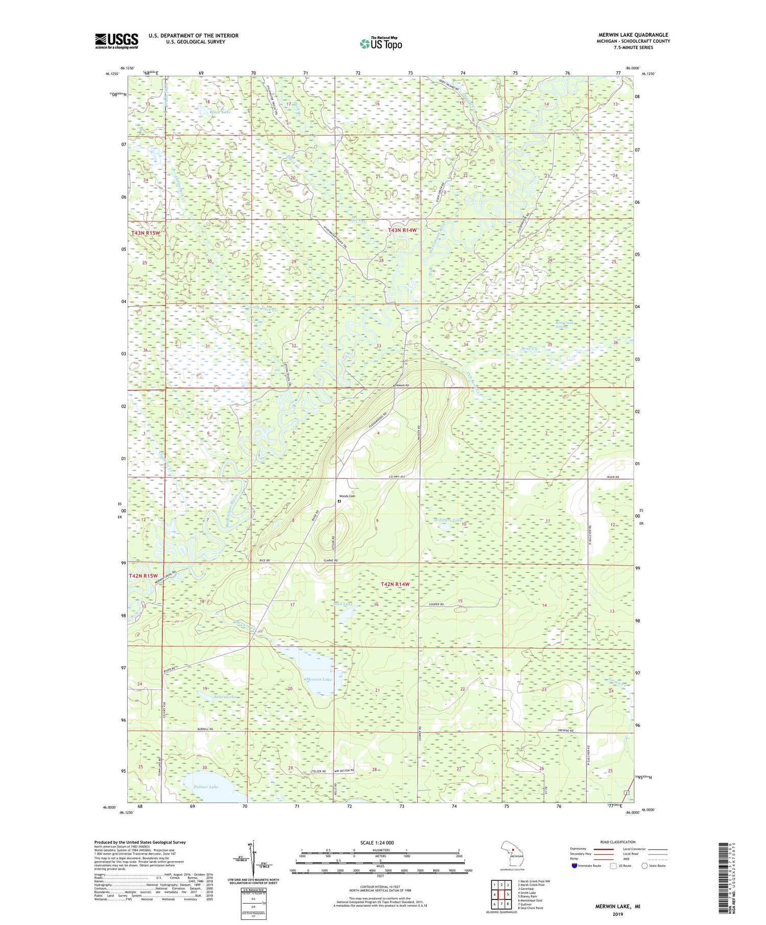
2019 topographic map quadrangle Merwin Lake in the state of Michigan. Scale: 1:24000. Based on the newly updated USGS 7.5' US Topo map series, this map is in the following counties: Schoolcraft. The map contains contour data, water features, and other items you are used to seeing on USGS maps, but also has updated roads and other features. This is the next generation of topographic maps. Printed on high-quality waterproof paper with UV fade-resistant inks.
Quads adjacent to this one:
West: Smith Lake
Northwest: Marsh Creek Pool NW
North: Marsh Creek Pool
Northeast: Germfask
East: Blaney Park
Southeast: Seul Choix Point
South: Gulliver
Southwest: Manistique East
Contains the following named places: Bear Creek, Black Creek, Black Lake, Boucher Creek, Clemons Creek, Cub Bear Creek, Dougal Creek, Duck Creek, Little Duck Creek, McIntyre Lake, Merwin Creek, Merwin Creek Campground, Merwin Lake, Mud Lake, Palmer Lake, Salter Lake, Woods Cemetery, Woods School, ZIP Code: 49840