
MyTopo
Muskallonge Lake SE Michigan US Topo Map
Couldn't load pickup availability
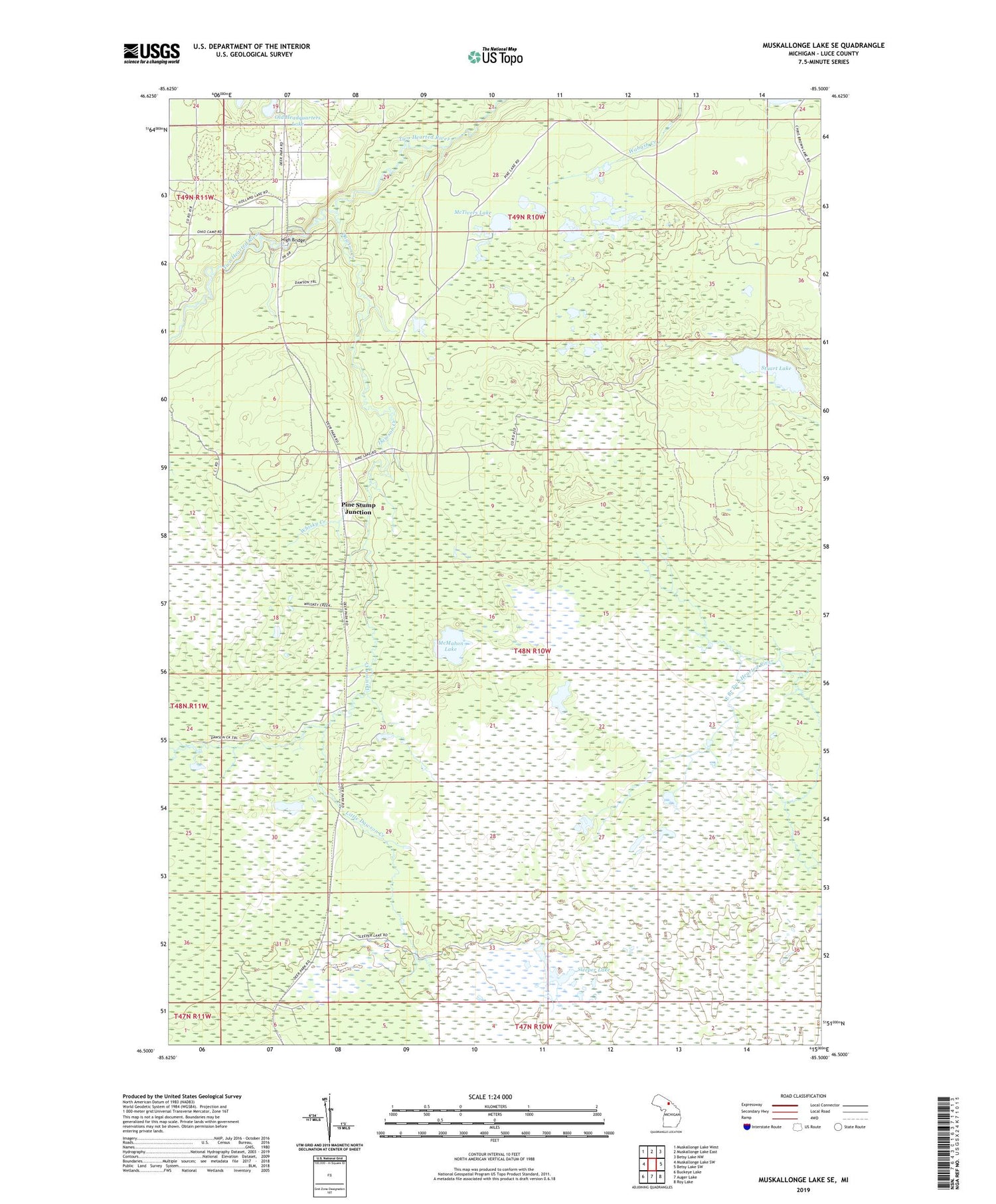
2019 topographic map quadrangle Muskallonge Lake SE in the state of Michigan. Scale: 1:24000. Based on the newly updated USGS 7.5' US Topo map series, this map is in the following counties: Luce. The map contains contour data, water features, and other items you are used to seeing on USGS maps, but also has updated roads and other features. This is the next generation of topographic maps. Printed on high-quality waterproof paper with UV fade-resistant inks.
Quads adjacent to this one:
West: Muskallonge Lake SW
Northwest: Muskallonge Lake West
North: Muskallonge Lake East
Northeast: Betsy Lake NW
East: Betsy Lake SW
Southeast: Roy Lake
South: Auger Lake
Southwest: Buckeye Lake
Contains the following named places: Dawson Creek, Headquarters Lake State Forest Campground, High Bridge, High Bridge State Forest Campground, Little Dawson Creek, McMahon Lake, McTivers Lake, Old Headquarters Lake, Pine Stump Junction, Sleeper Lake, Stuart Lake, Whisky Creek, ZIP Code: 49868


