MyTopo
Nestoria Michigan US Topo Map
Couldn't load pickup availability
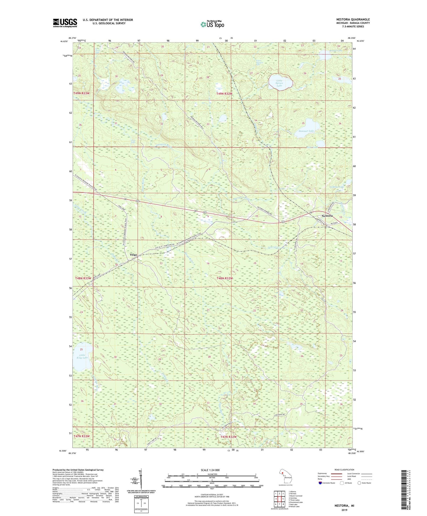
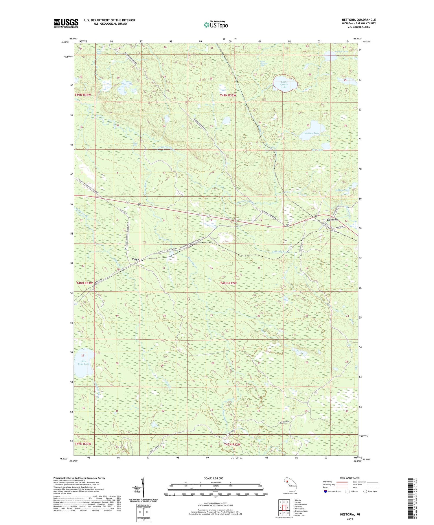
2019 topographic map quadrangle Nestoria in the state of Michigan. Scale: 1:24000. Based on the newly updated USGS 7.5' US Topo map series, this map is in the following counties: Baraga. The map contains contour data, water features, and other items you are used to seeing on USGS maps, but also has updated roads and other features. This is the next generation of topographic maps. Printed on high-quality waterproof paper with UV fade-resistant inks.
Quads adjacent to this one:
West: Vermilac
Northwest: Alberta
North: Herman
Northeast: Mount Curwood
East: Three Lakes
Southeast: Nelson Lake
South: Ned Lake
Southwest: Drummond Lake
Contains the following named places: Dommer Lake, Lateral Creek, LeMays Lake, Little King Lake, Little Spruce Lake, Nestoria, Nestoria Post Office, Nestoria Station, No Name Falls, Norr Lake, Round Lake, Tama Creek, Tioga, Tioga Falls, Tioga River, Upper Sturgeon Falls