MyTopo
Mount Curwood Michigan US Topo Map
Couldn't load pickup availability
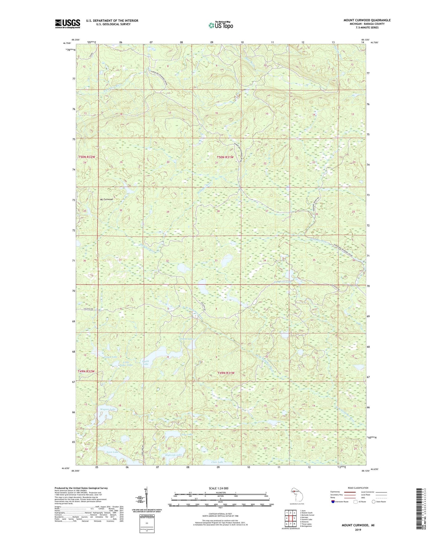
2023 topographic map quadrangle Mount Curwood in the state of Michigan. Scale: 1:24000. Based on the newly updated USGS 7.5' US Topo map series, this map is in the following counties: Baraga. The map contains contour data, water features, and other items you are used to seeing on USGS maps, but also has updated roads and other features. This is the next generation of topographic maps. Printed on high-quality waterproof paper with UV fade-resistant inks.
Quads adjacent to this one:
West: Herman
Northwest: Aura
North: Skanee South
Northeast: McComb Corner
East: Summit Lake
Southeast: Michigamme
South: Three Lakes
Southwest: Nestoria
This map covers the same area as the classic USGS quad with code o46088f2.
Contains the following named places: Camp 10, Camp Ten Lake, Clair Lake, Diana Lake, Elmblad Camp, Fisher Lake, High Life Lake, Jims Lake, Little Fisher Lake, Loon Lake, Mount Curwood, Ruona Camp, Sensenbrenner-Seldon Camp, Smith Lake, Snyder Camp, Wagner Lake