MyTopo
Pine Lake Michigan US Topo Map
Couldn't load pickup availability
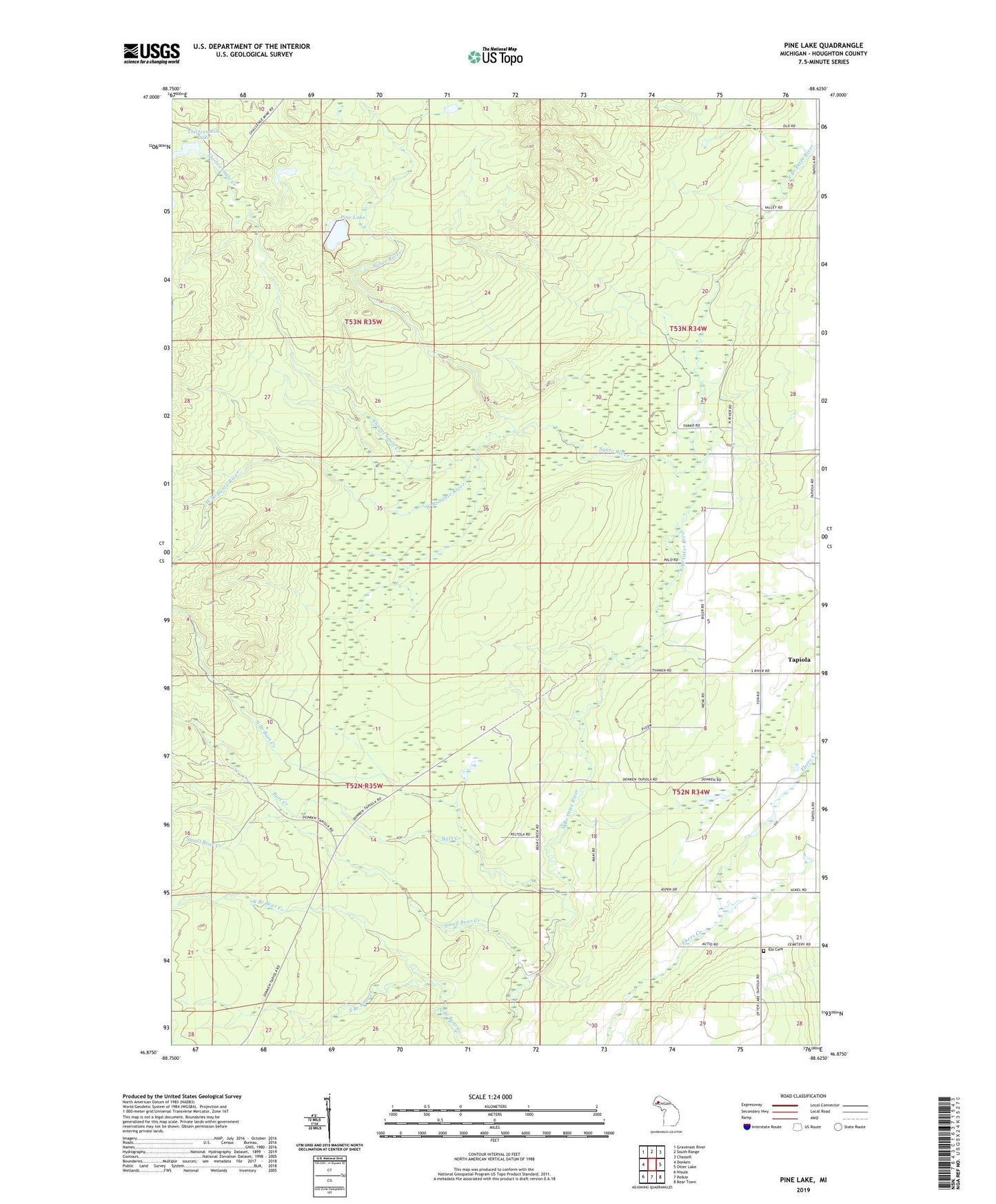
2019 topographic map quadrangle Pine Lake in the state of Michigan. Scale: 1:24000. Based on the newly updated USGS 7.5' US Topo map series, this map is in the following counties: Houghton. The map contains contour data, water features, and other items you are used to seeing on USGS maps, but also has updated roads and other features. This is the next generation of topographic maps. Printed on high-quality waterproof paper with UV fade-resistant inks.
Quads adjacent to this one:
West: Donken
Northwest: Graveraet River
North: South Range
Northeast: Chassell
East: Otter Lake
Southeast: Bear Town
South: Pelkie
Southwest: Nisula
Contains the following named places: Bart Creek, Challenge Mine, Charter Township of Portage, Elo Cemetery, Elo Church, Houghton County, North Branch Bart Creek, Pine Lake, Sante River, Small Bear Creek, South Branch Bear Creek, Tapiola, Tapiola Post Office, Thirteenmile Creek, Thirteenmile Lake, West Branch Sante River