MyTopo
Pelkie Michigan US Topo Map
Couldn't load pickup availability
Also explore the Pelkie Forest Service Topo of this same quad for updated USFS data
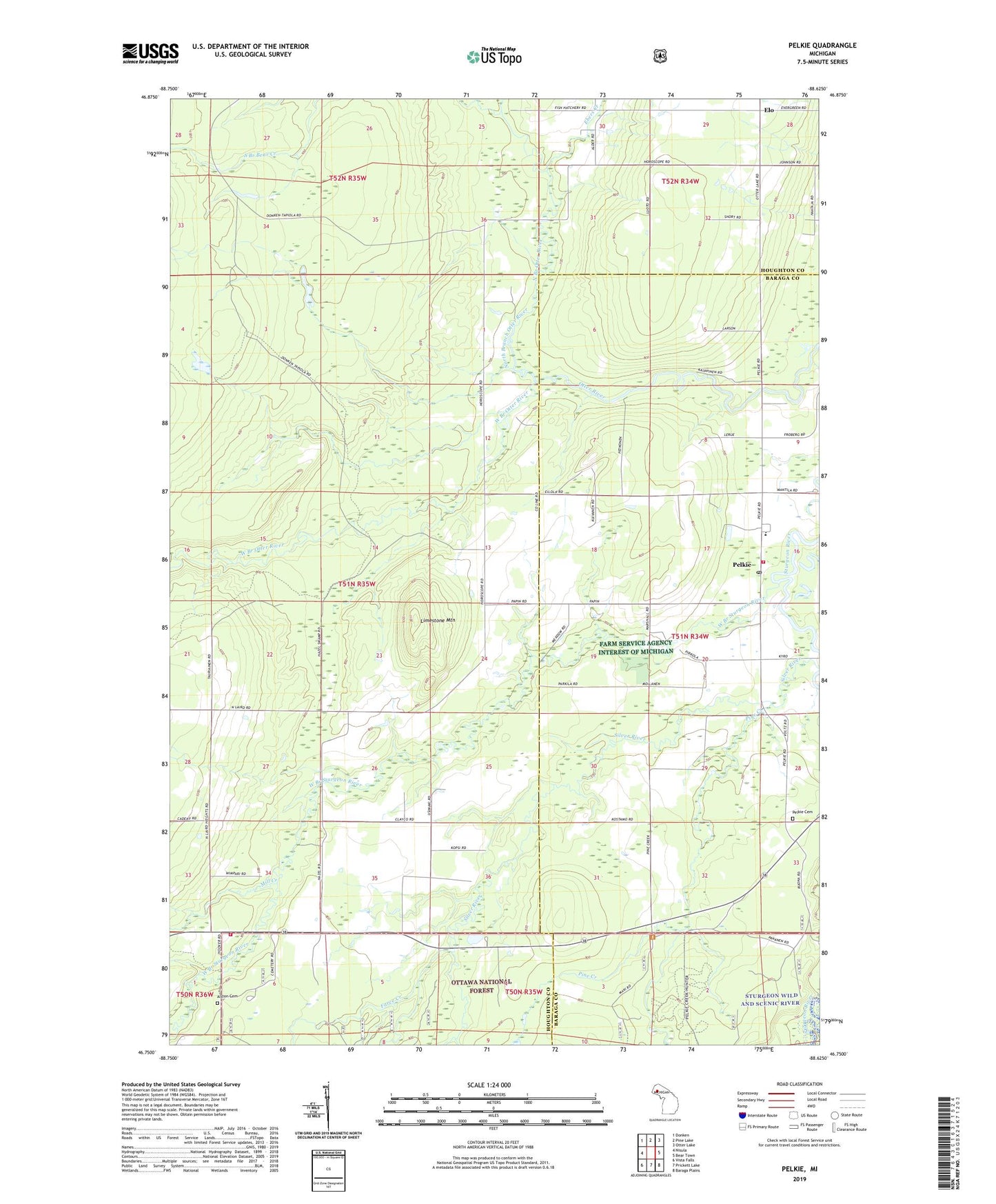
2023 topographic map quadrangle Pelkie in the state of Michigan. Scale: 1:24000. Based on the newly updated USGS 7.5' US Topo map series, this map is in the following counties: Houghton, Baraga. The map contains contour data, water features, and other items you are used to seeing on USGS maps, but also has updated roads and other features. This is the next generation of topographic maps. Printed on high-quality waterproof paper with UV fade-resistant inks.
Quads adjacent to this one:
West: Nisula
Northwest: Donken
North: Pine Lake
Northeast: Otter Lake
East: Bear Town
Southeast: Baraga Plains
South: Prickett Lake
Southwest: Vista Falls
This map covers the same area as the classic USGS quad with code o46088g6.
Contains the following named places: Alston Apostolic Lutheran Church, Alston Cemetery, Ebers Creek, Elo, Elo Post Office, Farce Creek, Hazel, Laird Township Volunteer Fire Department, Limestone Mountain, Mill Creek, Mission United Lutheran Church, North Branch Bear Creek, North Branch Otter River, Pelkie, Pelkie Cemetery, Pelkie Census Designated Place, Pelkie Grade School, Pelkie Post Office, Pelkie Station, Pelkie Volunteer Fire Department, Pine Creek, Silver River, West Branch Otter River, West Branch Sturgeon River, ZIP Code: 49958