MyTopo
Port Austin West Michigan US Topo Map
Couldn't load pickup availability
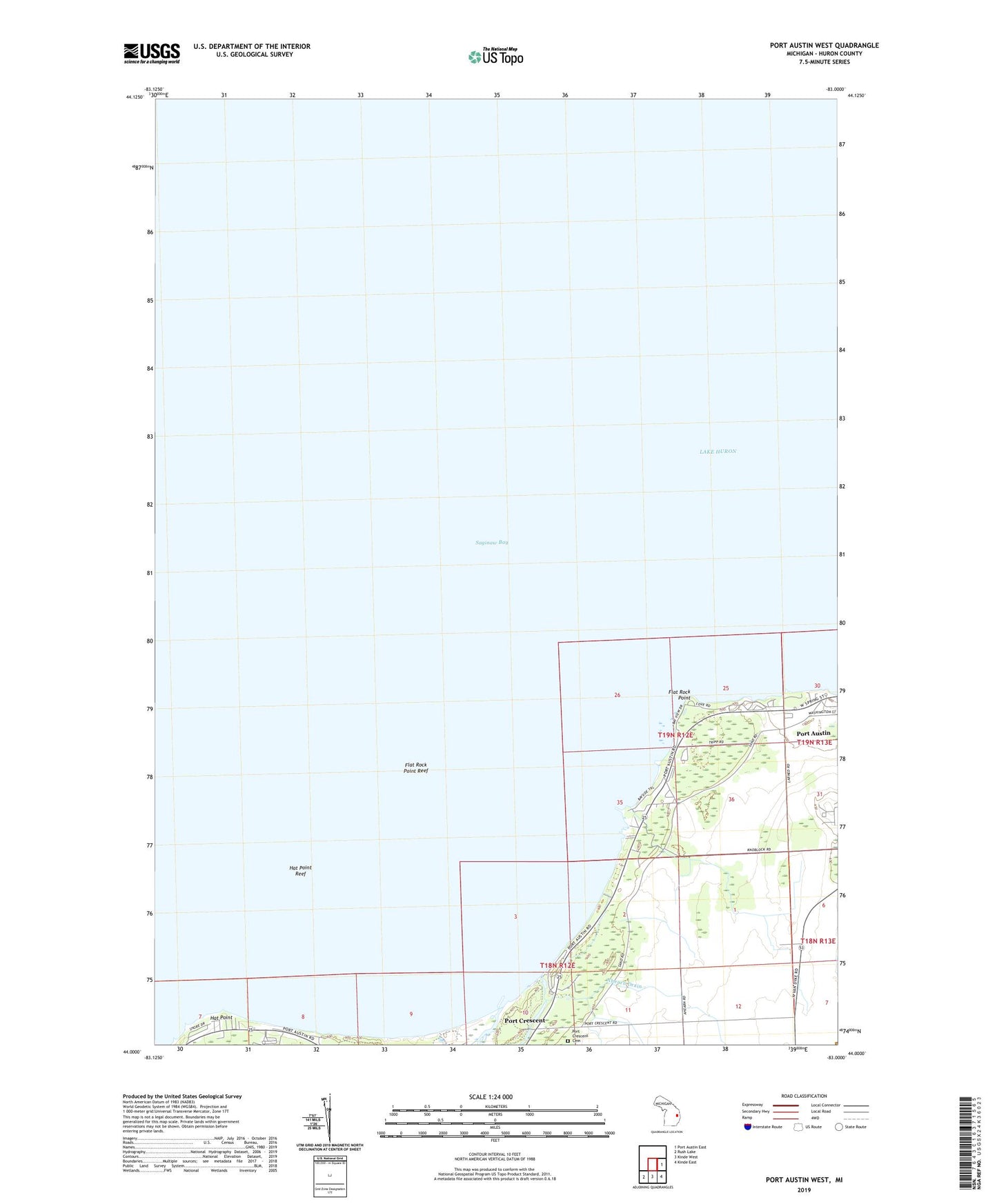
2023 topographic map quadrangle Port Austin West in the state of Michigan. Scale: 1:24000. Based on the newly updated USGS 7.5' US Topo map series, this map is in the following counties: Huron. The map contains contour data, water features, and other items you are used to seeing on USGS maps, but also has updated roads and other features. This is the next generation of topographic maps. Printed on high-quality waterproof paper with UV fade-resistant inks.
Quads adjacent to this one:
East: Port Austin East
Southeast: Kinde East
South: Kinde West
Southwest: Rush Lake
This map covers the same area as the classic USGS quad with code o44083a1.
Contains the following named places: Ahearn Drain, Duggan's Family Campground, Flat Rock Point, Flat Rock Point Reef, Hat Point, Hat Point Reef, Hiawatha Trailer Park, Jenks County Park, North Huron Assembly Church, Philp Park, Pinnebog River, Port Austin Air Force Station, Port Austin Sabbatarian Church, Port Austin Township Hall, Port Crescent, Port Crescent Cemetery, Port Crescent Post Office, Port Crescent State Park, Port Crescent State Park Campground