MyTopo
Ralph NE Michigan US Topo Map
Couldn't load pickup availability
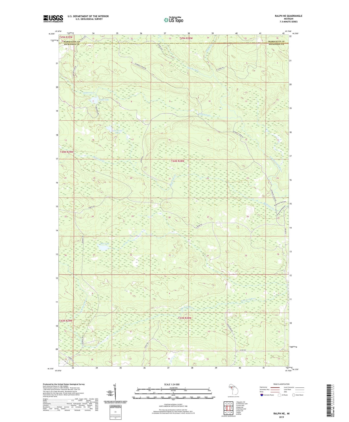
2023 topographic map quadrangle Ralph NE in the state of Michigan. Scale: 1:24000. Based on the newly updated USGS 7.5' US Topo map series, this map is in the following counties: Dickinson, Marquette. The map contains contour data, water features, and other items you are used to seeing on USGS maps, but also has updated roads and other features. This is the next generation of topographic maps. Printed on high-quality waterproof paper with UV fade-resistant inks.
Quads adjacent to this one:
West: Ralph NW
Northwest: Republic SW
North: Chabeneau Lake
Northeast: Green Hills
East: Northland NW
Southeast: Alfred
South: Ralph
Southwest: Ralph SW
This map covers the same area as the classic USGS quad with code o46087b7.
Contains the following named places: Escanaba River Lookout Tower, Flat Rock Creek, Horseshoe Lake, Little Mud Lake, Mud Lake, O'Neil Lake, Schwartz Creek, Van Derlin Lake, Wild West Creek