MyTopo
Rapid River Michigan US Topo Map
Couldn't load pickup availability
Also explore the Rapid River Forest Service Topo of this same quad for updated USFS data
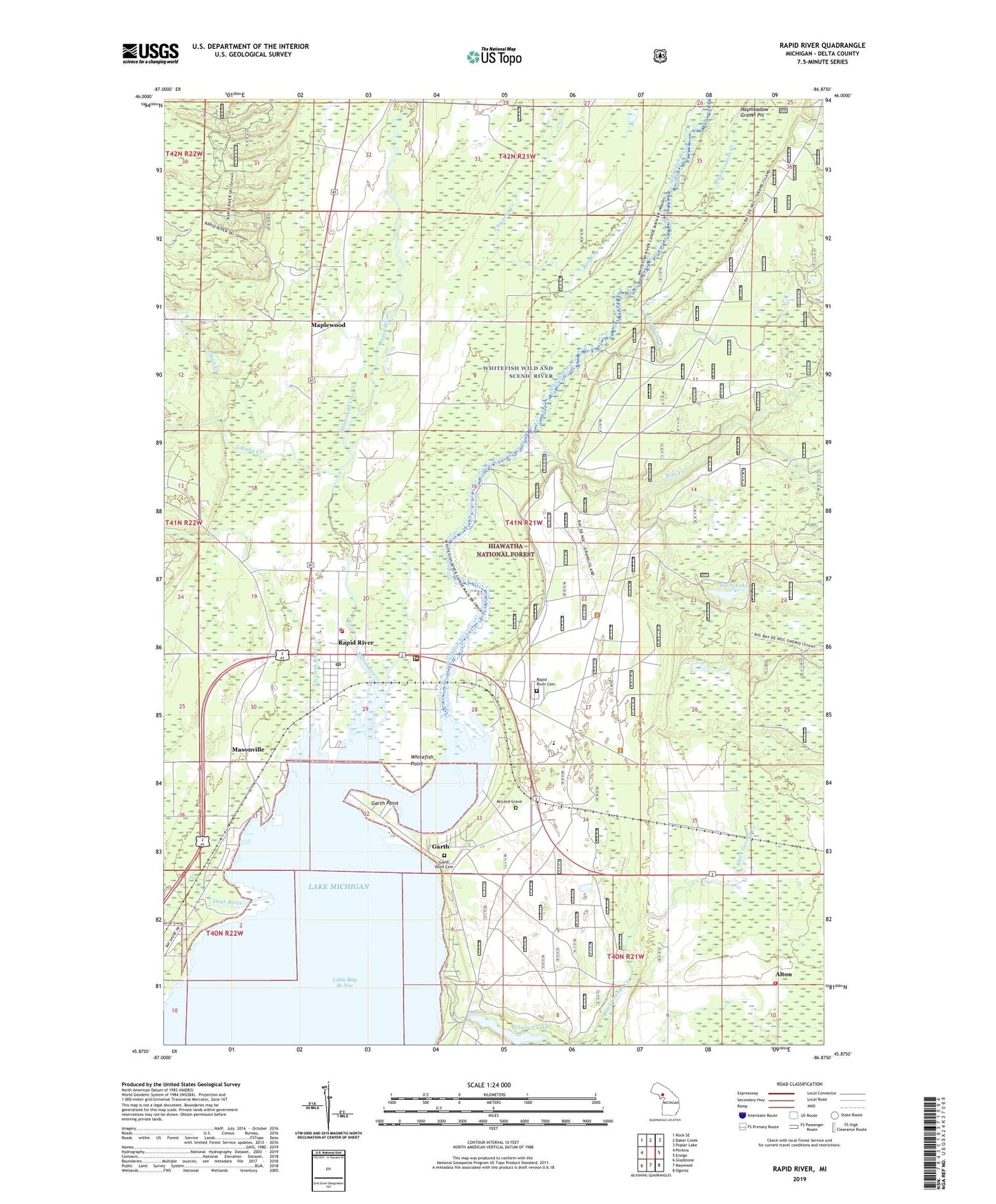
2023 topographic map quadrangle Rapid River in the state of Michigan. Scale: 1:24000. Based on the newly updated USGS 7.5' US Topo map series, this map is in the following counties: Delta. The map contains contour data, water features, and other items you are used to seeing on USGS maps, but also has updated roads and other features. This is the next generation of topographic maps. Printed on high-quality waterproof paper with UV fade-resistant inks.
Quads adjacent to this one:
West: Perkins
Northwest: Rock SE
North: Baker Creek
Northeast: Poplar Lake
East: Ensign
Southeast: Ogontz
South: Maywood
Southwest: Gladstone
This map covers the same area as the classic USGS quad with code o45086h8.
Contains the following named places: Alton, Berg Creek, Bills Creek, Calvary Lutheran Church, Chippeny Creek, Congregational Church, Days River, Dillabough Creek, Ensign Township Fire Department, Farm Lake, Ferguson Creek, Garth, Garth Point, Garth Point Cemetery, Garth Post Office, Haymeadow Creek, Haymeadow Gravel Pit, Indian Trail Historical Marker, Inman Creek, Laraby Creek, Maplewood, Masonville, Masonville Emergency Medical Services, Masonville Post Office, Masonville Station, Masonville Township Volunteer Fire Department, McLeod Grave, Rapid River, Rapid River Cemetery, Rapid River Census Designated Place, Rapid River High School, Rapid River Lookout Tower, Rapid River Post Office, Rapid River Public Schools, Rapid River Station, Saint Charles Borromeo Church, Schaawe Lake, Tacoosh River, Ten Dollar Creek, Unites States Forest Service Hiawatha National Forest Rapid River Ranger Station, Vagabond Resort and Campground, Whispering Valley Camp Ground, Whitefish Hill RV and Mobile Home Park, Whitefish Point, Whitefish River