MyTopo
Richmondville Michigan US Topo Map
Couldn't load pickup availability
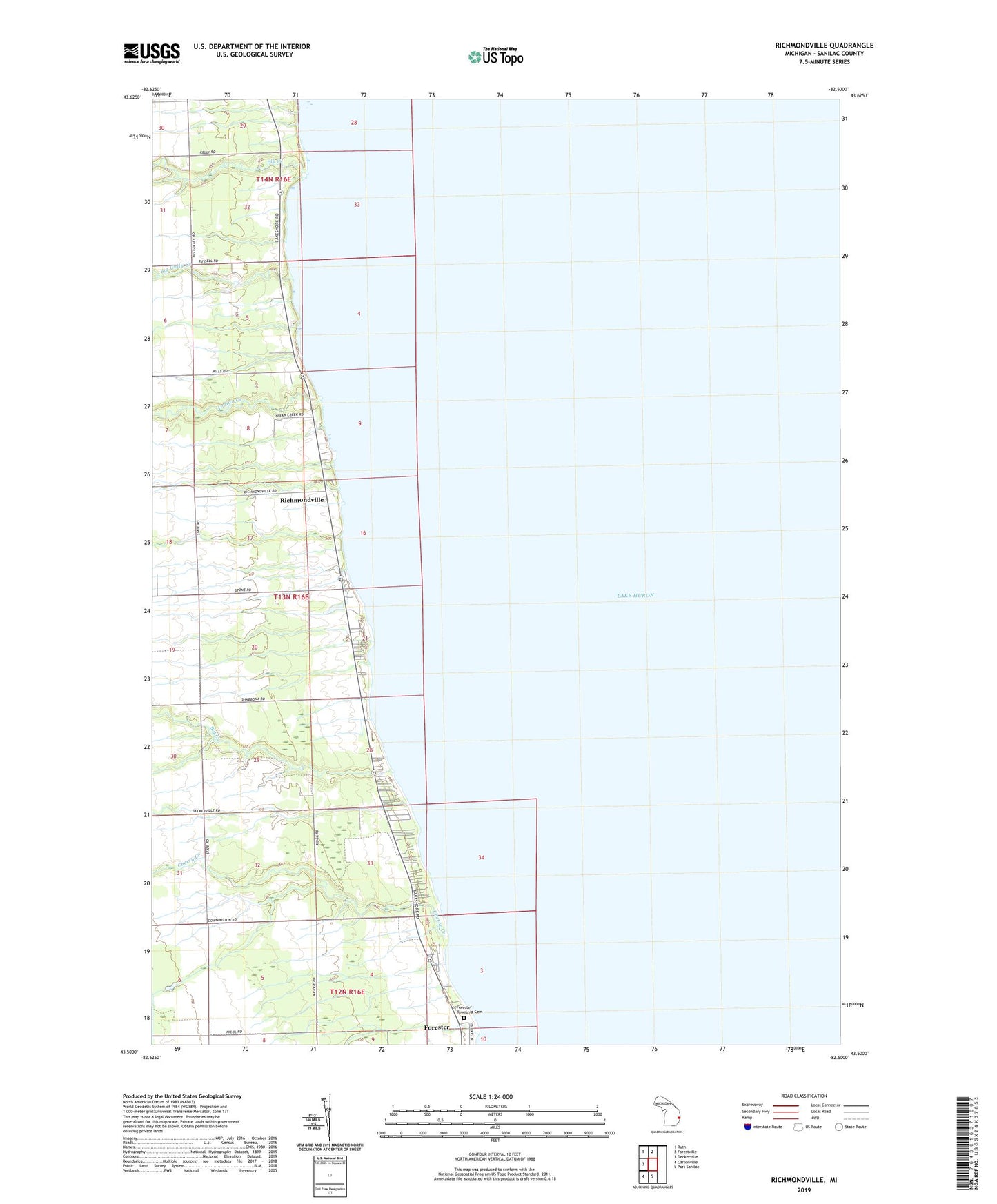
2023 topographic map quadrangle Richmondville in the state of Michigan. Scale: 1:24000. Based on the newly updated USGS 7.5' US Topo map series, this map is in the following counties: Sanilac. The map contains contour data, water features, and other items you are used to seeing on USGS maps, but also has updated roads and other features. This is the next generation of topographic maps. Printed on high-quality waterproof paper with UV fade-resistant inks.
Quads adjacent to this one:
West: Deckerville
Northwest: Ruth
North: Forestville
South: Port Sanilac
Southwest: Carsonville
This map covers the same area as the classic USGS quad with code o43082e5.
Contains the following named places: Big Creek, Big Gully Creek, Cherry Creek, Elk Creek, Forester County Park, Forester Township Cemetery, Griggs River, Indian Creek, Kelley Cemetery, Murray Post Office, Richmondville, Richmondville Post Office, Sanilac County Park, Township of Forester