MyTopo
Skanee South Michigan US Topo Map
Couldn't load pickup availability
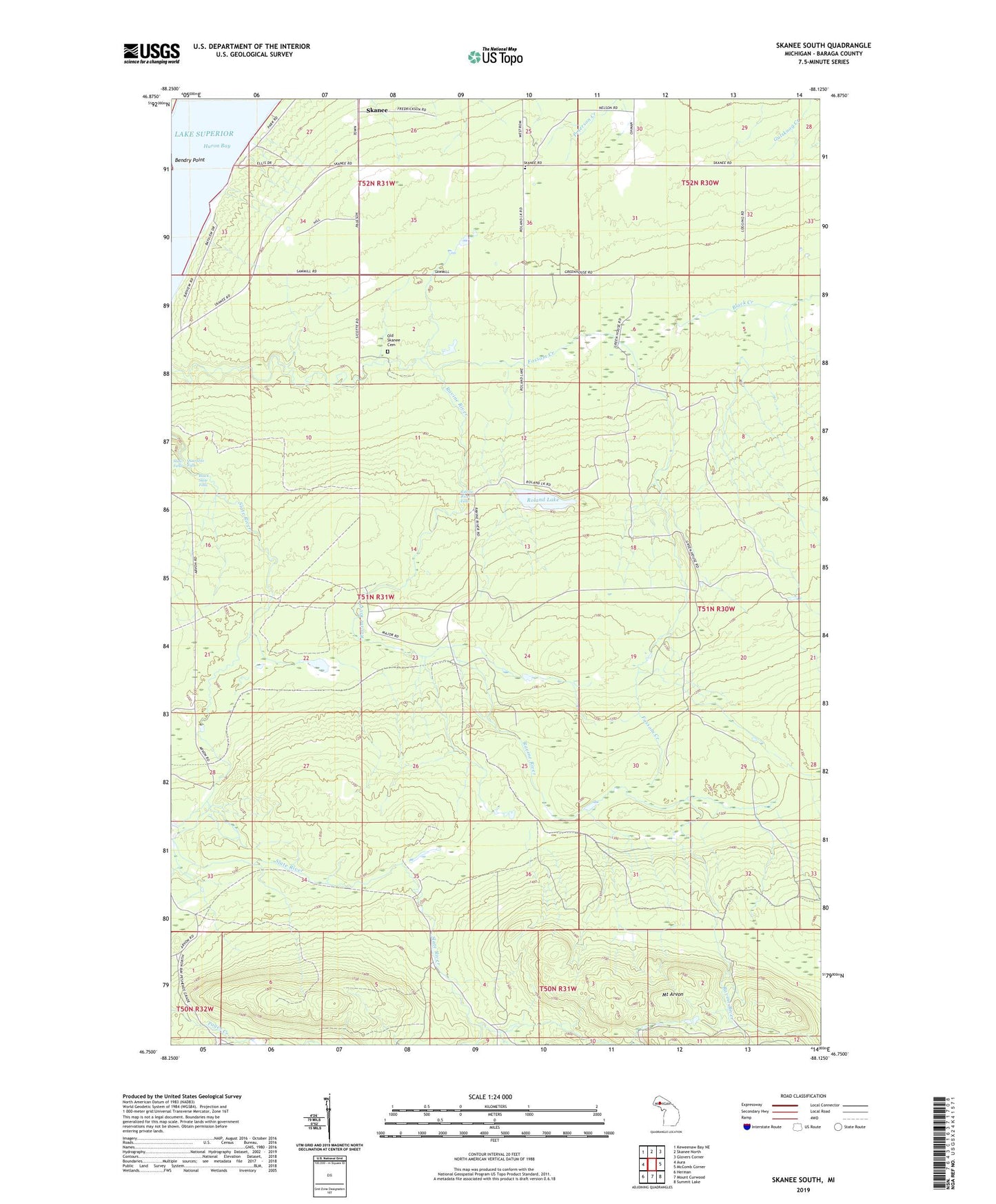
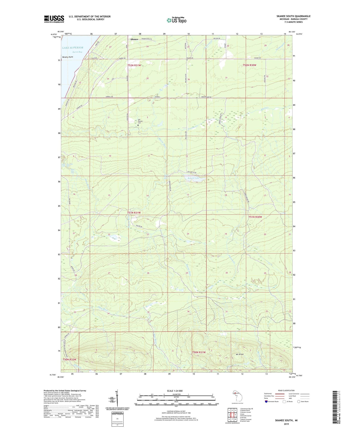
2019 topographic map quadrangle Skanee South in the state of Michigan. Scale: 1:24000. Based on the newly updated USGS 7.5' US Topo map series, this map is in the following counties: Baraga. The map contains contour data, water features, and other items you are used to seeing on USGS maps, but also has updated roads and other features. This is the next generation of topographic maps. Printed on high-quality waterproof paper with UV fade-resistant inks.
Quads adjacent to this one:
West: Aura
Northwest: Keweenaw Bay NE
North: Skanee North
Northeast: Glovers Corner
East: McComb Corner
Southeast: Summit Lake
South: Mount Curwood
Southwest: Herman
Contains the following named places: Arvon Lookout Tower, Arvon Post Office, Arvon Station, Arvon Township Park, Black Slate Falls, Fossom Creek, Mount Arvon, Old Skanee Cemetery, Quartzite Falls, Ravine River Falls, Roland Lake, Skanee, Skanee School, Slide Falls, Swedish Church, Township of Arvon, ZIP Code: 49962