MyTopo
Somerset Center Michigan US Topo Map
Couldn't load pickup availability
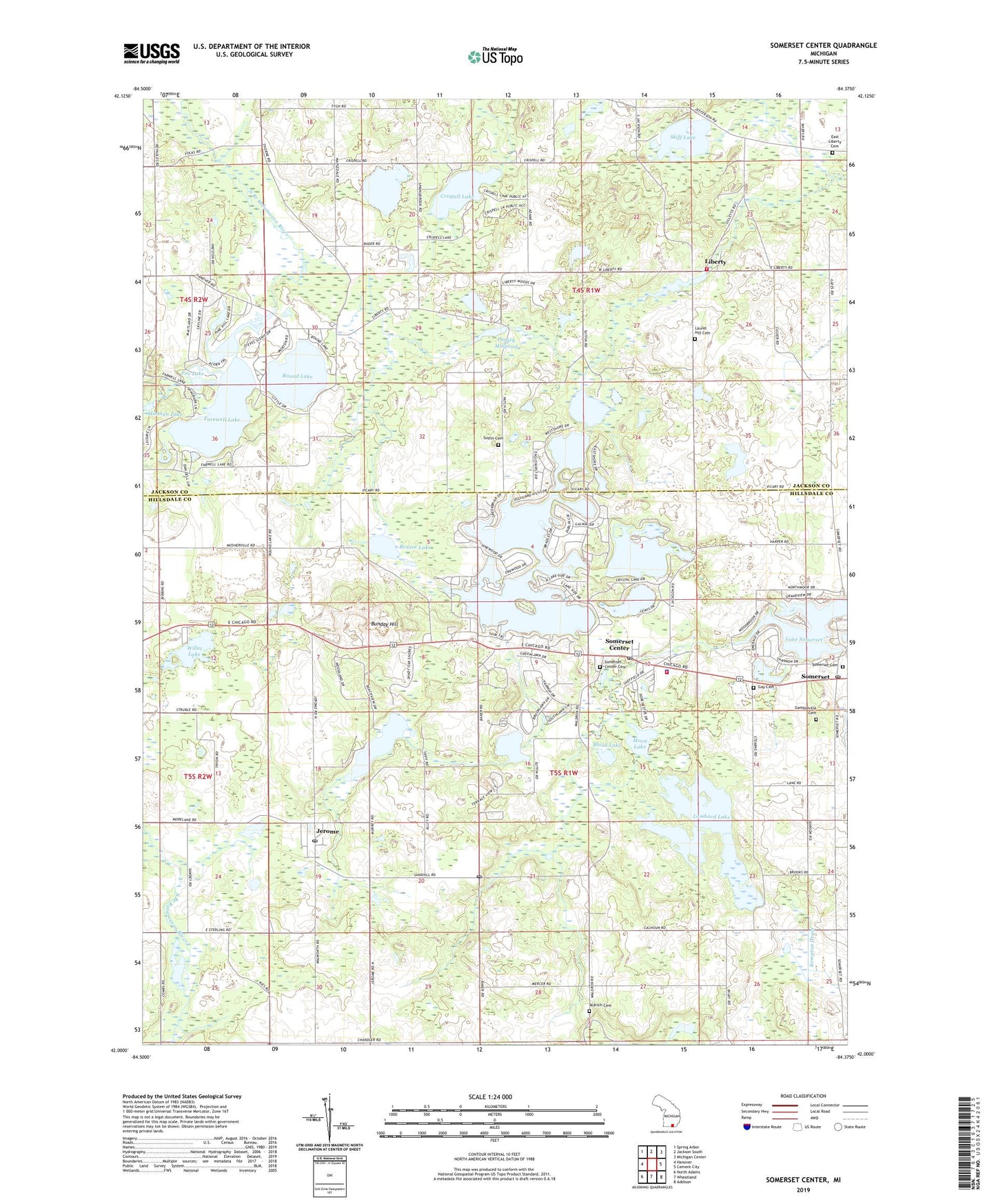
2023 topographic map quadrangle Somerset Center in the state of Michigan. Scale: 1:24000. Based on the newly updated USGS 7.5' US Topo map series, this map is in the following counties: Hillsdale, Jackson. The map contains contour data, water features, and other items you are used to seeing on USGS maps, but also has updated roads and other features. This is the next generation of topographic maps. Printed on high-quality waterproof paper with UV fade-resistant inks.
Quads adjacent to this one:
West: Hanover
Northwest: Spring Arbor
North: Jackson South
Northeast: Michigan Center
East: Cement City
Southeast: Addison
South: Wheatland
Southwest: North Adams
This map covers the same area as the classic USGS quad with code o42084a4.
Contains the following named places: Aldrich Cemetery, Bakers Post Office, Bankers Station, Blood Lake, Braxee Lake, Brooks Cemetery, Bunday Hill, Butcher Farm Cemetery, Crego Cemetery, Crispell Lake, Crystal Lake, Deer Run Golf Club, East Liberty Cemetery, East Liberty Church, Farewell Lake, Fox Lake, Gambleville Cemetery, Gay Cemetery, Goose Lake, Grace Baptist Church, Grand Lake, Hinman Lake, Jerome, Jerome Post Office, Jerome Station, Lake Le Ann, Lake LeAnn, Lake LeAnn Census Designated Place, Lake Leann Golf Course, Lake Somerset, Laurel Hill Cemetery, Liberty, Liberty Post Office, Lombard Lake, Mirror Lake, Moon Lake, Mud Lake, Perch Lake, Pine Hills Lake, Putney Millpond, Round Lake, Round Lake County Park, Shady Acres Campground, Skiff Lake, Skiff Lake Church, Somerset, Somerset Cemetery, Somerset Center, Somerset Center Cemetery, Somerset Center Methodist Church, Somerset Center Post Office, Somerset Center Station, Somerset Congregational Church, Somerset Post Office, Somerset Township Fire and Emergency Medical Services, Somerset Township Police Department, Sutfin Cemetery, Township of Liberty, Township of Somerset, Universalist Unitarian Church, WHL McCourtie Estate Historical Marker, WHL McCourtie Historical Marker, Willet Lake, Williams Field, Willits Lake Family Campground, ZIP Codes: 49249, 49282


