MyTopo
Wheatland Michigan US Topo Map
Couldn't load pickup availability
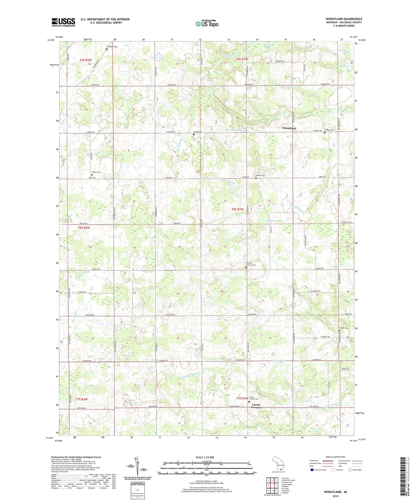
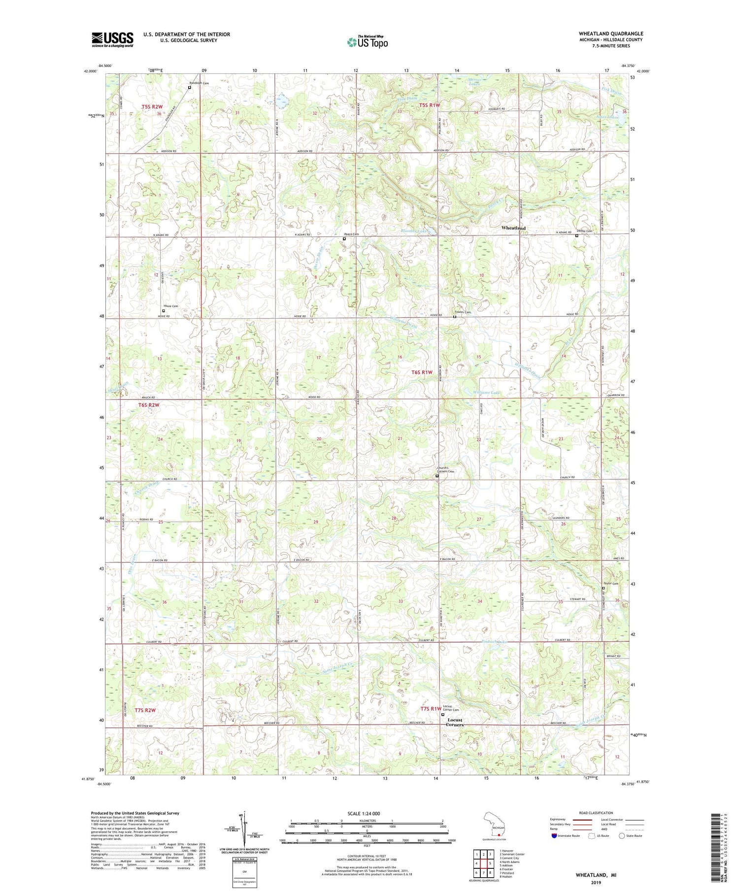
2023 topographic map quadrangle Wheatland in the state of Michigan. Scale: 1:24000. Based on the newly updated USGS 7.5' US Topo map series, this map is in the following counties: Hillsdale. The map contains contour data, water features, and other items you are used to seeing on USGS maps, but also has updated roads and other features. This is the next generation of topographic maps. Printed on high-quality waterproof paper with UV fade-resistant inks.
Quads adjacent to this one:
West: North Adams
Northwest: Hanover
North: Somerset Center
Northeast: Cement City
East: Addison
Southeast: Hudson
South: Pittsford
Southwest: Frontier
This map covers the same area as the classic USGS quad with code o41084h4.
Contains the following named places: Ames Lake, Bloomer Lake, Church Post Office, Churches Corners Cemetery, Churchs Corners, Davis Field, Dibble Cemetery, Embach Lake, Emmaus Lutheran Church, Evergreen - Fowler Cemetery, Freedom Farm Bible Church, Freedom Farm Christian School, Hoxie Cemetery, Hoxie Drain, Hoxie Post Office, Locust Corner Cemetery, Locust Corners, Locust Post Office, Mercer Lakes, Pease Cemetery, Randolph Cemetery, Stafford Post Office, Taylor Cemetery, Township of Wheatland, Wheatland, Wheatland Church, Wheatland Post Office, Williams Drain, Williams Lake, WPCJ-FM (Pittsford), ZIP Code: 49262