MyTopo
Tahquamenon Lakes Michigan US Topo Map
Couldn't load pickup availability
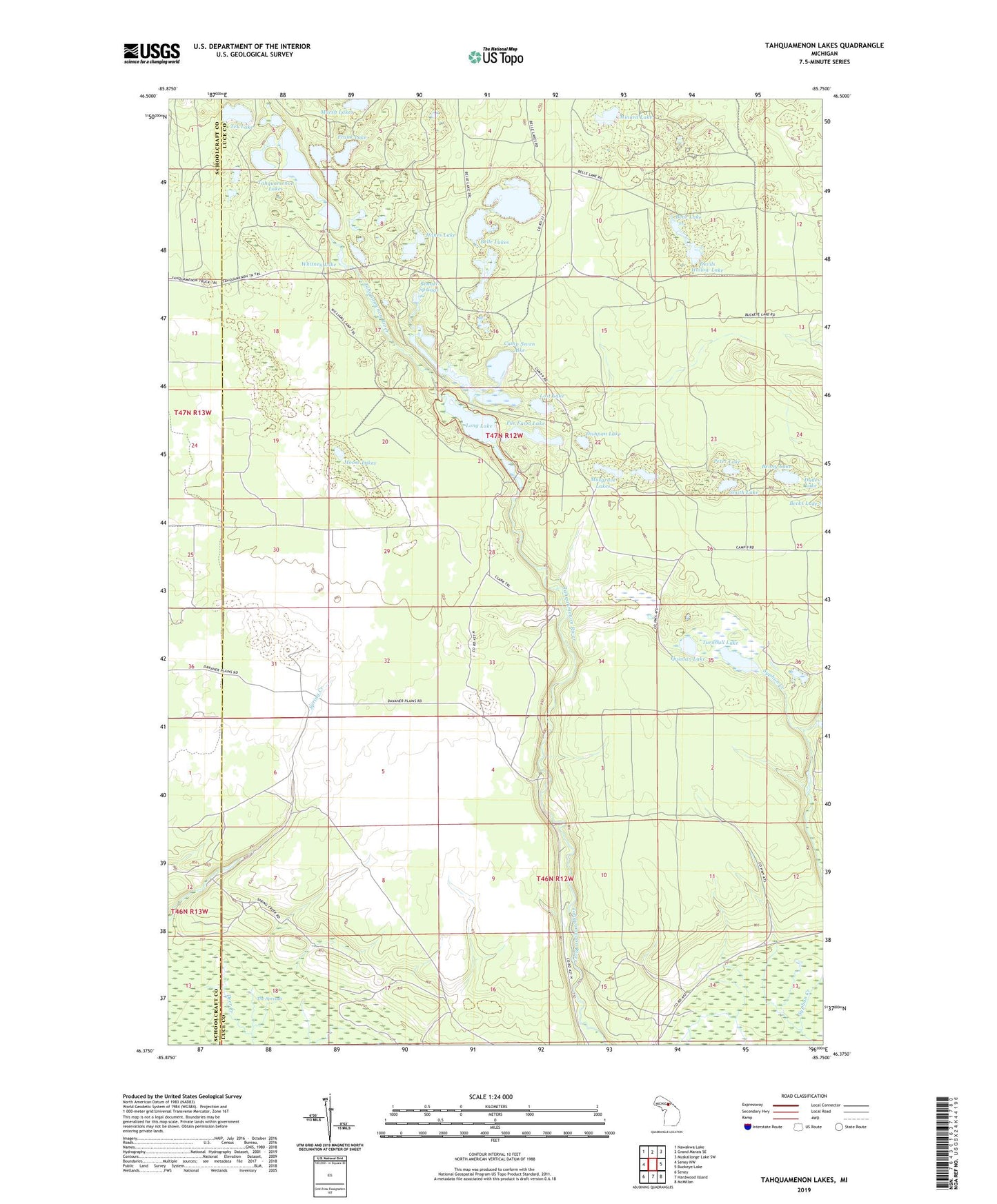
2023 topographic map quadrangle Tahquamenon Lakes in the state of Michigan. Scale: 1:24000. Based on the newly updated USGS 7.5' US Topo map series, this map is in the following counties: Luce, Schoolcraft. The map contains contour data, water features, and other items you are used to seeing on USGS maps, but also has updated roads and other features. This is the next generation of topographic maps. Printed on high-quality waterproof paper with UV fade-resistant inks.
Quads adjacent to this one:
West: Seney NW
Northwest: Nawakwa Lake
North: Grand Marais SE
Northeast: Muskallonge Lake SW
East: Buckeye Lake
Southeast: McMillan
South: Hardwood Island
Southwest: Seney
This map covers the same area as the classic USGS quad with code o46085d7.
Contains the following named places: Bear Lake, Belle Lakes, Bennet Springs, Benny Lake, Camp Seven Lake, Devils Hollow Lake, Dishpan Lake, Frank Lake, Fur Farm Lake, Grass Lake, Grass Slough, Hanes Lake, Long Lake, Lost Lake, Minard Lake, Moose Lakes, Musgrave Lakes, Perch Lake, Peter Lake, Quinlan Lake, Smith Lake, Spring Creek Trout Pond, Tahquamenon Lakes, Tek Lake, Turnbull Lake, Whitney Lake