MyTopo
Vermilion SE Michigan US Topo Map
Couldn't load pickup availability
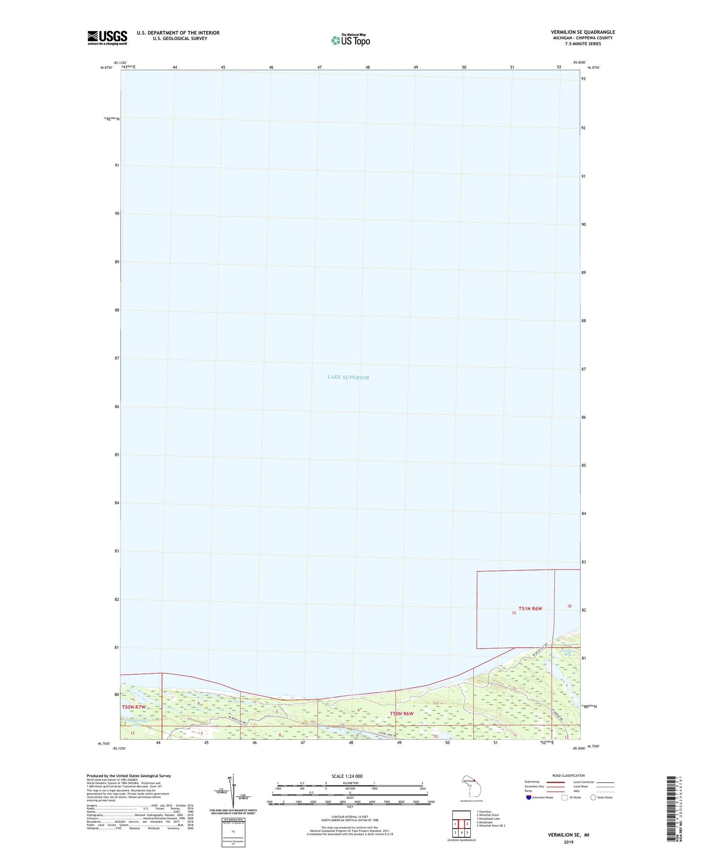
2023 topographic map quadrangle Vermilion SE in the state of Michigan. Scale: 1:24000. Based on the newly updated USGS 7.5' US Topo map series, this map is in the following counties: Chippewa. The map contains contour data, water features, and other items you are used to seeing on USGS maps, but also has updated roads and other features. This is the next generation of topographic maps. Printed on high-quality waterproof paper with UV fade-resistant inks.
Quads adjacent to this one:
West: Vermilion
East: Whitefish Point
Southeast: Whitefish Point OE S
South: Shelldrake
Southwest: Sheephead Lake
This map covers the same area as the classic USGS quad with code o46085g1.
Contains the following named places: Cranberry Bogs, Little Lake, Weatherhogs Lake