MyTopo
Aure Minnesota US Topo Map
Couldn't load pickup availability
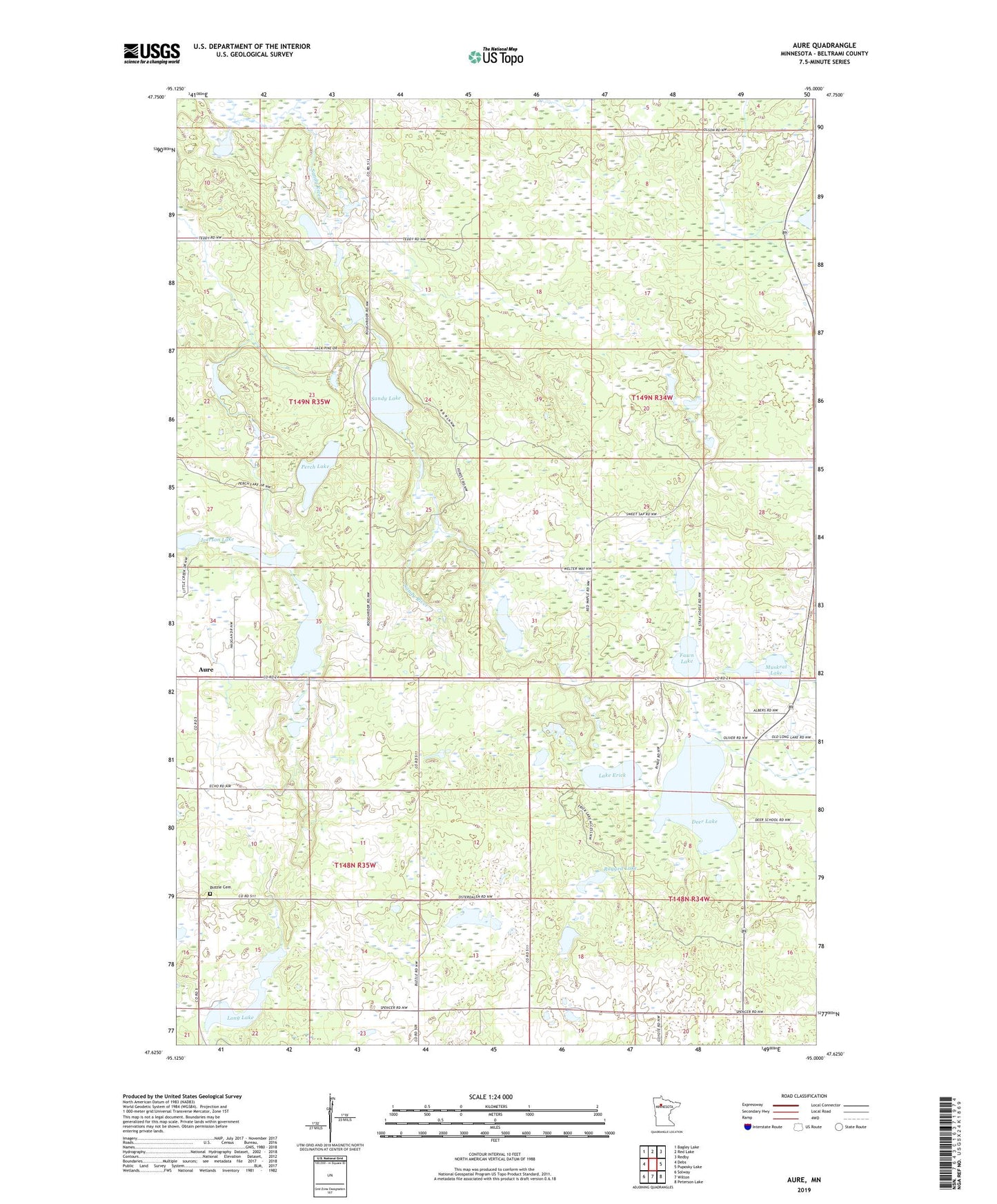
2022 topographic map quadrangle Aure in the state of Minnesota. Scale: 1:24000. Based on the newly updated USGS 7.5' US Topo map series, this map is in the following counties: Beltrami. The map contains contour data, water features, and other items you are used to seeing on USGS maps, but also has updated roads and other features. This is the next generation of topographic maps. Printed on high-quality waterproof paper with UV fade-resistant inks.
Quads adjacent to this one:
West: Debs
Northwest: Bagley Lake
North: Red Lake
Northeast: Redby
East: Puposky Lake
Southeast: Peterson Lake
South: Wilton
Southwest: Solway
This map covers the same area as the classic USGS quad with code o47095f1.
Contains the following named places: Aure, Aure Post Office, Braas Lake, Buzzle Cemetery, Buzzle Church, Deer Lake, Fawn Lake, Iverson Lake, Lake Erick, Long Lake, Muskrat Lake, Perch Lake, Ragged Lake, Sandy Lake, Stray Horse Lake, Township of Buzzle, Township of Maple Ridge, Whitefish Lake