MyTopo
Austin West Minnesota US Topo Map
Couldn't load pickup availability
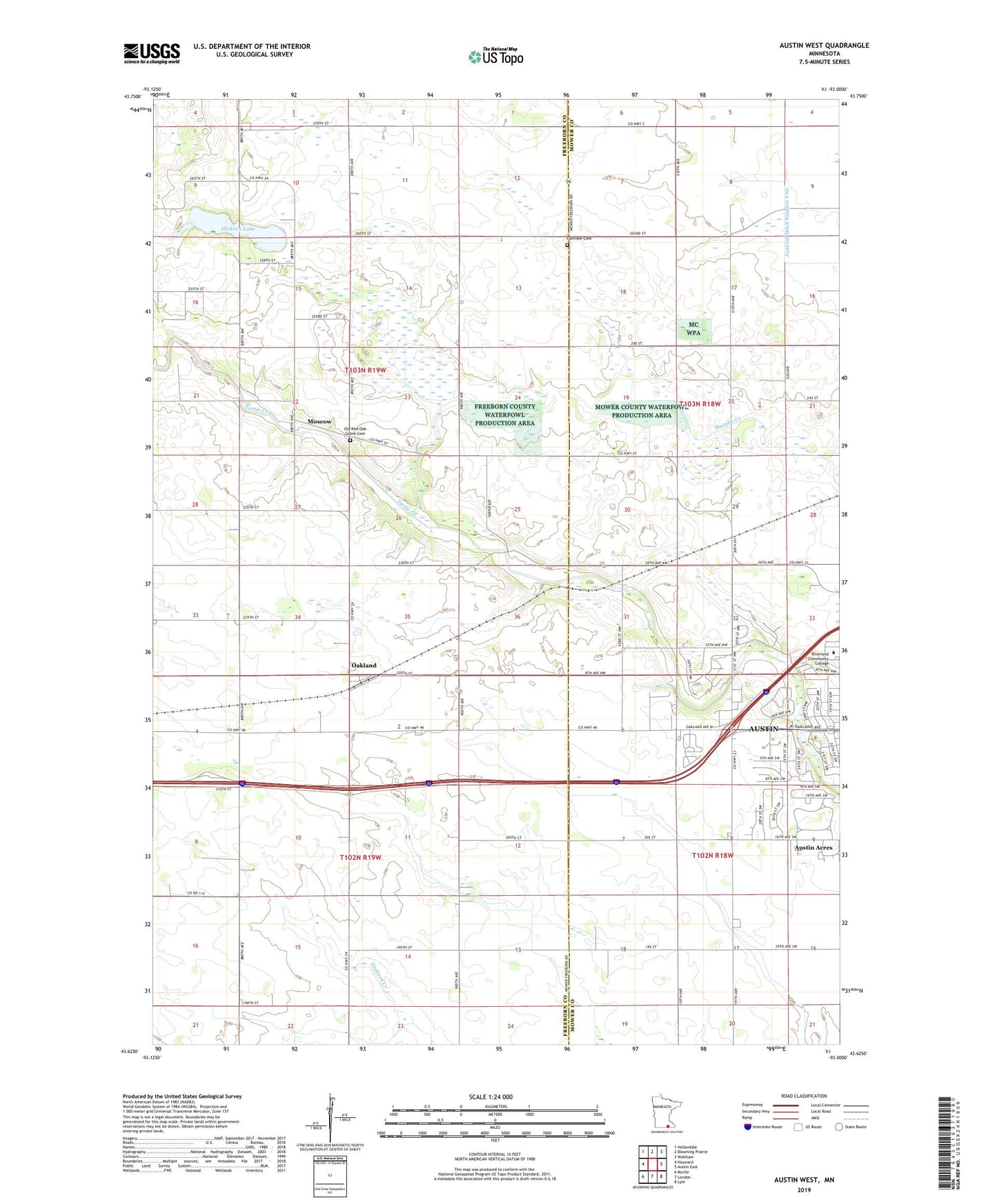
2019 topographic map quadrangle Austin West in the state of Minnesota. Scale: 1:24000. Based on the newly updated USGS 7.5' US Topo map series, this map is in the following counties: Freeborn, Mower. The map contains contour data, water features, and other items you are used to seeing on USGS maps, but also has updated roads and other features. This is the next generation of topographic maps. Printed on high-quality waterproof paper with UV fade-resistant inks.
Quads adjacent to this one:
West: Hayward
Northwest: Hollandale
North: Blooming Prairie
Northeast: Waltham
East: Austin East
Southeast: Lyle
South: London
Southwest: Myrtle
Contains the following named places: Austin Acres, Carey State Wildlife Management Area, Everyone's Country Estate Historical Marker, Fairview Cemetery, First Congressional Church - United Church of Christ, Hickory Lake, Johnson Pool, Johnson Pool Dam, Judicial Ditch Number One, Judicial Ditch Number Twentysix, KAVT-FM (Austin), KSMQ-TV (Austin), Lugg School, Moscow, Moscow Post Office, Moscow State Game Refuge, Moscow Town Hall, Mower County Waterfowl Production Area, Oak Grove School, Oakland, Oakland City Townhall, Oakland Post Office, Oakland Woods West Bound Rest Area, Old Red Oak Grove Cemetery, O'Leary School, Peerless School, Pleasant View School, Riverland Community College, Saint Edwards Church, Shirley Theel Memorial Park, Taylor School, The Church of Jesus Christ of Latter Day Saints, Torrens School, Township of Moscow, Township of Oakland, Woodland School